


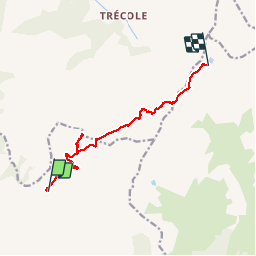

13.6 km | 26 km-effort


User


FREE GPS app for hiking
 SityTrail
IGN / Geographical institutes
SityTrail World
The world is yours!
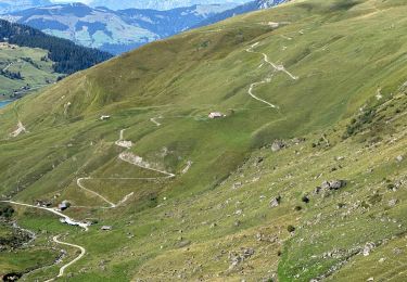
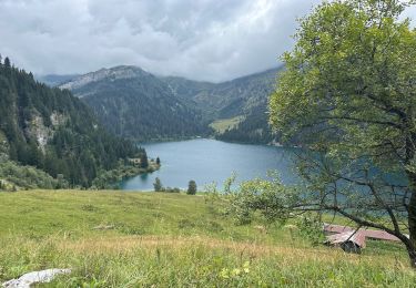
Trail Walking of 9.9 km to be discovered at Auvergne-Rhône-Alpes, Savoy, Aime-la-Plagne. This trail is proposed by algecko.
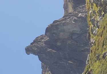
Mont Coin, col du Coin, lac d'Amour, col Tutu et Pierra Menta passage délicat
Walking
Walking

Touring skiing
Touring skiing
Walking

Walking

Snowshoes
Walking
Walking