


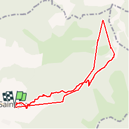

10.2 km | 15.9 km-effort

User


FREE GPS app for hiking
 SityTrail
IGN / Geographical institutes
SityTrail World
The world is yours!
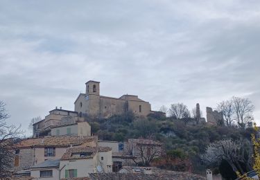
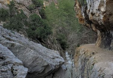
Trail Walking of 9.4 km to be discovered at Provence-Alpes-Côte d'Azur, Alpes-de-Haute-Provence, Saint-Jurs. This trail is proposed by jmv77.
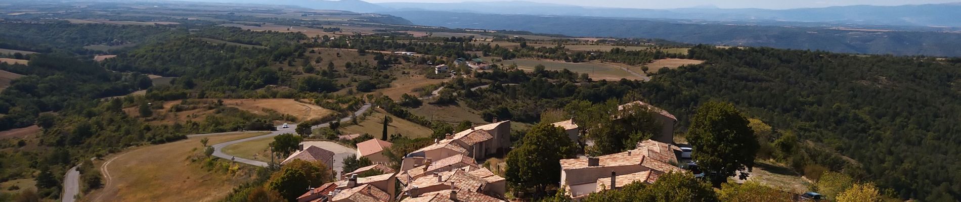
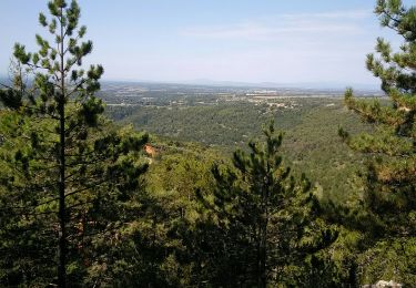
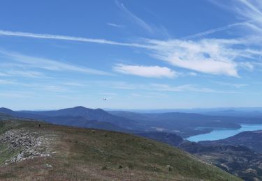
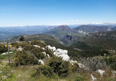
jolie montée en prenant la piste ,très beau point de vue en haut
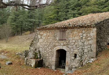
belle ballade vraiment pas difficile en fin de promenade allez prendre un pot au bar resto "au bout du monde" ils sont sympas


Walking
Walking
Walking
Walking
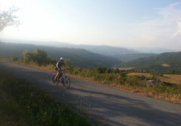
Mountain bike
Walking
Walking
Walking
Walking