


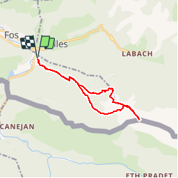


17.5 km | 36 km-effort

User


FREE GPS app for hiking
 SityTrail
IGN / Geographical institutes
SityTrail World
The world is yours!
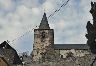
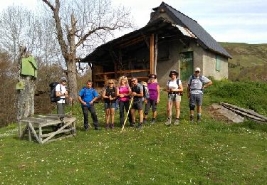
Trail Walking of 13.3 km to be discovered at Occitania, Haute-Garonne, Fos. This trail is proposed by chrisgps.
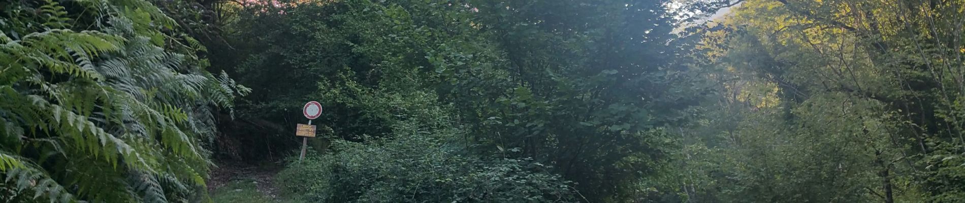
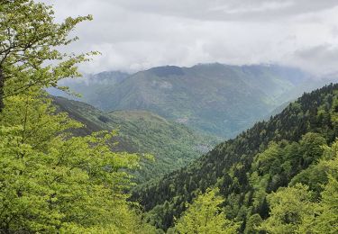
Belle montée en sous-bois jusqu'à la cabane du Courau d'Artigue. Idem jusqu'à la cabane de Salontère mais avec des passage rudes !
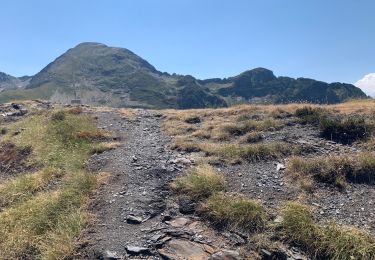
Pour atteindre le Pas de Salontère forte "grimpette" d'abord dans les fougères (penibles) et mieux ensuite entre bruyeres et myrtillers).Continuer en crête debonnaire jusqu'au Cap des Hittes : superbe panorama en 360°.
Retour par le Pas de Solontère le Pic de Soulère. Après on trouve une "aleatoire" sente pour arriver au col de Bouquemont en forêt.
Tentativa avortée de passer par le Tuc de Peyre Picade (et éventuellemnt par le Tuc de Séquède)complétement envahi par la végétation à cette période (septembre).
Descente par la coume de Bouquemont assez "sportive" car le chemin de perd d'abord dans les hautes fougères et ensuite dans la foret assez "sauvage".!Retour sur lapiste de la montée au croisement de "MOURAS".


24 photos in total. Please click on a photo to see them all in the gallery.
Walking
Walking

Walking
Walking
Snowshoes

Walking
Walking