


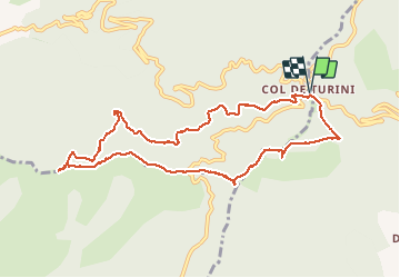

6.5 km | 10.5 km-effort

User


FREE GPS app for hiking
 SityTrail
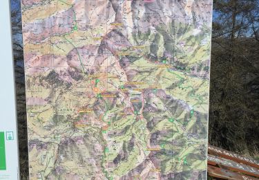
IGN / Geographical institutes
SityTrail World
The world is yours!
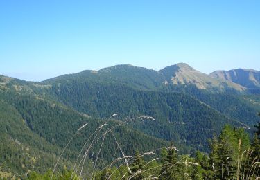
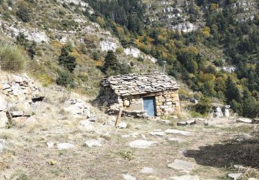
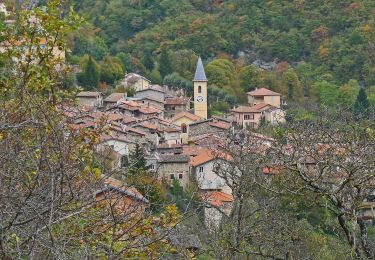
Trail Walking of 10.3 km to be discovered at Provence-Alpes-Côte d'Azur, Maritime Alps, Moulinet. This trail is proposed by jnpollet.
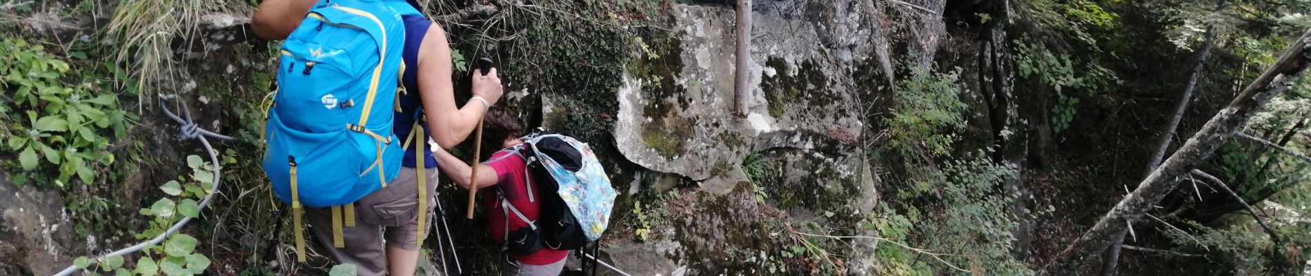
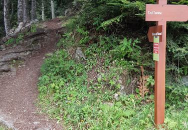
Qq passages difficiles à faire à l'automne des champignons partout

On foot
On foot
On foot
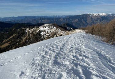
Snowshoes
Walking
Walking
On foot
Walking
Walking