


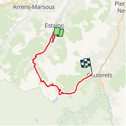

14.5 km | 29 km-effort


User


FREE GPS app for hiking
 SityTrail
IGN / Geographical institutes
SityTrail World
The world is yours!
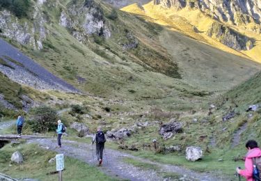
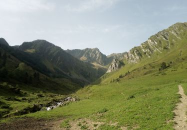
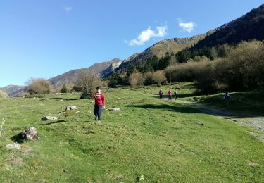
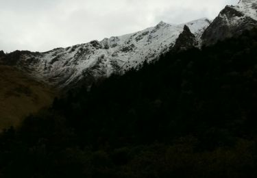
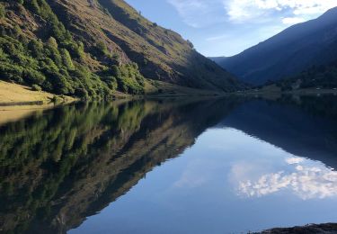
Trail On foot of 20 km to be discovered at Occitania, Hautespyrenees, Estaing. This trail is proposed by ARVIEU.
Lac d Estaing Abri Barbât col d Aheou col d Ilheou Cauterets
Walking

Walking
Walking
Walking
Walking
Walking
Walking
Walking
Walking