


5.1 km | 6.3 km-effort

User


FREE GPS app for hiking
 SityTrail
IGN / Geographical institutes
SityTrail World
The world is yours!
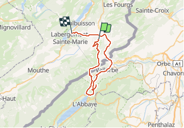
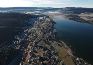
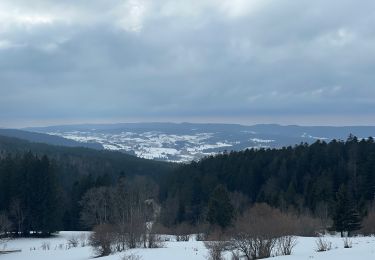
Trail Walking of 48 km to be discovered at Bourgogne-Franche-Comté, Doubs, Métabief. This trail is proposed by BM25.
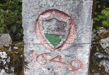
depuis station Metabief, sommet puis les crêtes, juraparc, le Pont et sommet dent de Vaulion, descente à Vallorbe..


On foot

Walking
Walking
Walking
On foot
Snowshoes

Nordic walking
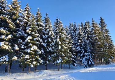
Cross-country skiing
Walking
erreur sur cette rando de Vallorbe a la maison en voiture donc 17kms de moins!! durée réelle 7H30, longueur 31Kms