25 km | 35 km-effort
Les hauteurs de Metabief
zefreefly
User
Length
15.5 km
Max alt
1426 m
Uphill gradient
551 m
Km-Effort
23 km
Min alt
1007 m
Downhill gradient
542 m
Boucle
Yes
Creation date :
2022-02-10 08:58:08.0
Updated on :
2022-02-10 14:22:12.222
3h51
Difficulty : Medium
FREE GPS app for hiking
About
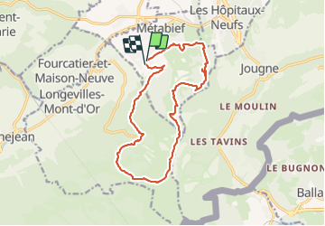
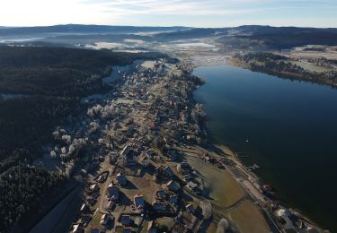
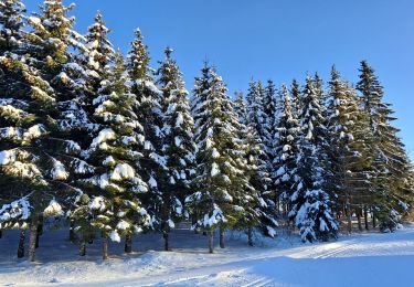
Trail Snowshoes of 15.5 km to be discovered at Bourgogne-Franche-Comté, Doubs, Métabief. This trail is proposed by zefreefly.
Description
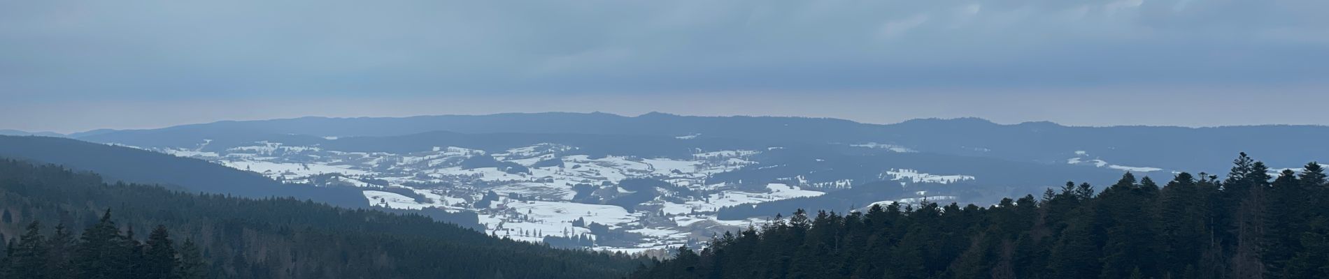
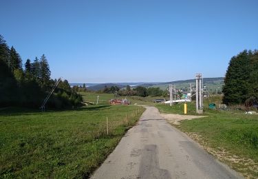
Boucle qui vous emmène vers le point de vue du Mont d’Or
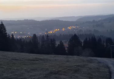
Belle Rando avec une montée bien raide.
Positioning
Country:
France
Region :
Bourgogne-Franche-Comté
Department/Province :
Doubs
Municipality :
Métabief
Location:
Unknown
Start:(Dec)
Start:(UTM)
297305 ; 5182439 (32T) N.
Comments
Trails nearby
GTJ Metabief - Pontarlier
Walking
Medium
(1)
Métabief,
Bourgogne-Franche-Comté,
Doubs,
France
7h 17min
No
Boucle du fort St Antoine
Walking
Medium
Saint-Antoine,
Bourgogne-Franche-Comté,
Doubs,
France
4.8 km | 6.2 km-effort
1h 25min
Yes
Mont d'or
Walking
Easy
Rochejean,
Bourgogne-Franche-Comté,
Doubs,
France
11.9 km | 17.5 km-effort
4h 53min
Yes
Sentier du Tour du Lac
On foot
Easy
Malbuisson,
Bourgogne-Franche-Comté,
Doubs,
France
16 km | 19.9 km-effort
4h 30min
No
Fort St Antoine
Nordic walking
Easy
Malbuisson,
Bourgogne-Franche-Comté,
Doubs,
France
5.8 km | 7.3 km-effort
2h 21min
Yes
Les Essarts
Cross-country skiing
Easy
Les Hôpitaux-Vieux,
Bourgogne-Franche-Comté,
Doubs,
France
6.5 km | 8.1 km-effort
2h 3min
Yes
La Jougnena
Walking
Very difficult
(1)
Jougne,
Bourgogne-Franche-Comté,
Doubs,
France
17.7 km | 24 km-effort
5h 32min
Yes
La poyette
Walking
Medium
Jougne,
Bourgogne-Franche-Comté,
Doubs,
France
11.8 km | 17.9 km-effort
4h 7min
Yes
Mont d'Or
Walking
Medium
Métabief,
Bourgogne-Franche-Comté,
Doubs,
France
13.5 km | 21 km-effort
3h 39min
No