


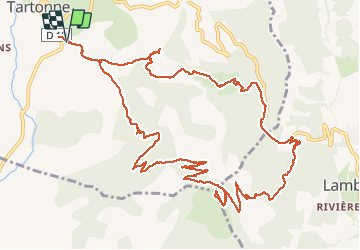

16.7 km | 26 km-effort

User


FREE GPS app for hiking
 SityTrail
IGN / Geographical institutes
SityTrail World
The world is yours!
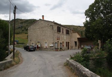
Trail Walking of 16 km to be discovered at Provence-Alpes-Côte d'Azur, Alpes-de-Haute-Provence, Tartonne. This trail is proposed by RobinMicheline.
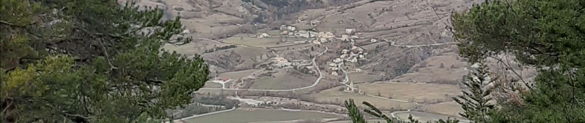
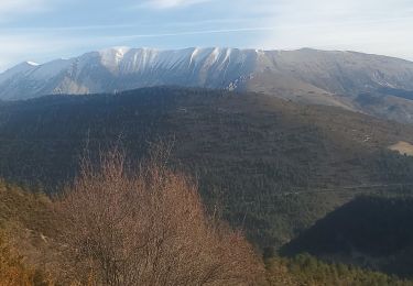
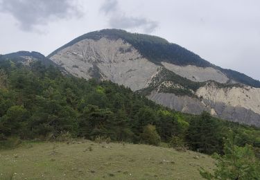
Petits sentiers a flanc de montagne , chamois au sommet , belle vue sur vallee


Walking
Mountain bike
Mountain bike

Mountain bike

Mountain bike
Walking
Walking


sport

Walking
Hello, je confirme, très belle rando un peu sportive, avec plus de 10 chamois avant d'arriver au sommet et très belle vue sur la, ensemble des sommets.