


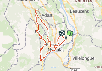

11.8 km | 20 km-effort


User GUIDE


FREE GPS app for hiking
 SityTrail
IGN / Geographical institutes
SityTrail World
The world is yours!
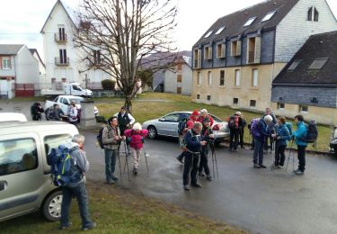
Trail On foot of 9.1 km to be discovered at Occitania, Hautespyrenees, Pierrefitte-Nestalas. This trail is proposed by marmotte65.
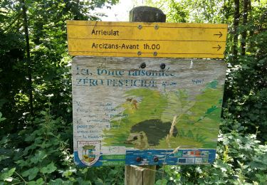
en mémoire de ceux qui en ont bavé.qui se sont battus pour nous et qu’aujourd’hui un petit rocket est en train de bousiller.
utilise l'aap patrimoine en balade, ça parlera mieux que moi.

Walking

Electric bike
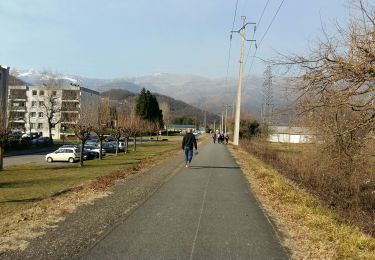
Walking
Walking
Walking
Walking

On foot

On foot

Walking