


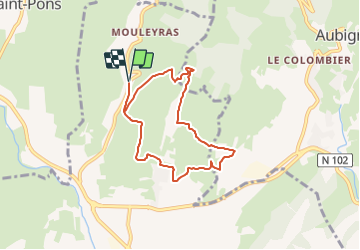

14.7 km | 22 km-effort

User GUIDE


FREE GPS app for hiking
 SityTrail
IGN / Geographical institutes
SityTrail World
The world is yours!
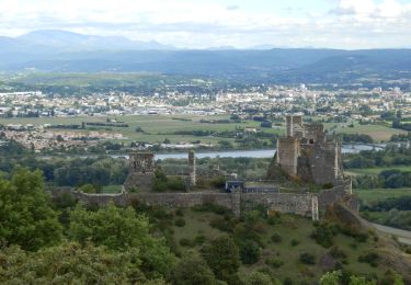
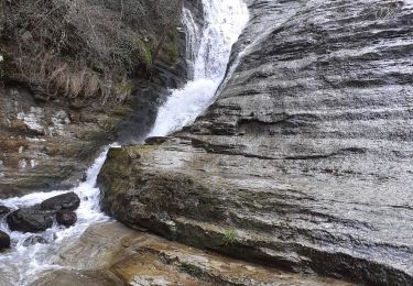
Trail Walking of 7.1 km to be discovered at Auvergne-Rhône-Alpes, Ardèche, Alba-la-Romaine. This trail is proposed by thonyc.
Joli parcours sur les contreforts du Coiron.
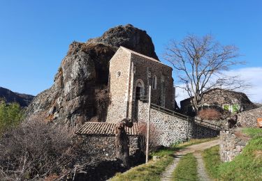
De belles vues sur la vallée de Valvignères et d'Alba.
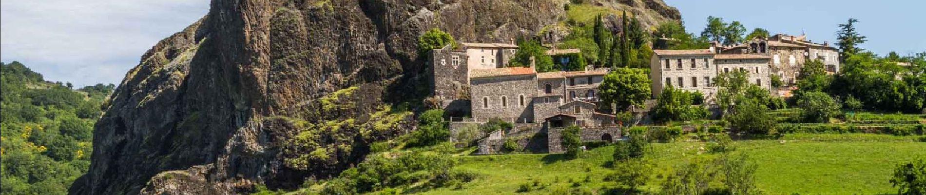
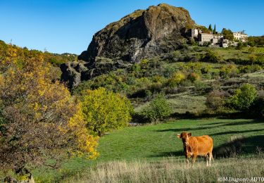
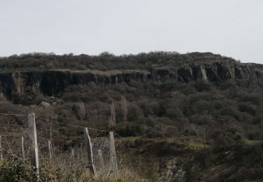
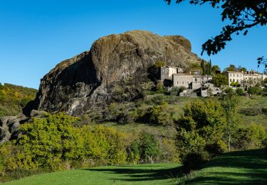
Découverte du neck de Sceautres (exemple typique de relief inversé).
Panneau explicatif au village.

Walking
Walking

Mountain bike
Mountain bike
Walking
Walking
Walking
Walking
Walking