


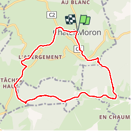

7.3 km | 9.1 km-effort


User


FREE GPS app for hiking
 SityTrail
IGN / Geographical institutes
SityTrail World
The world is yours!
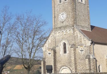
Trail Walking of 9 km to be discovered at Bourgogne-Franche-Comté, Saône-et-Loire, Châtel-Moron. This trail is proposed by PapyChalon.
Rando Club MGEN Chalon
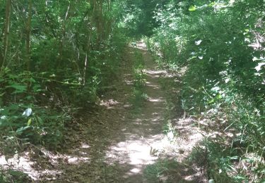
Promenade sportive parmi les collines au bout de la vallée de Vaux. Chaussures de randonnée et bâtons recommandés.
On foot

Walking

On foot
Walking

Walking
Walking
Walking
Walking
Walking
parfais