


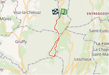

13.5 km | 27 km-effort


User


FREE GPS app for hiking
 SityTrail
IGN / Geographical institutes
SityTrail World
The world is yours!
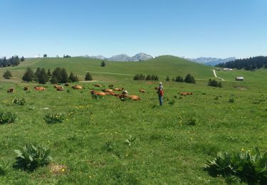
Trail Walking of 9.3 km to be discovered at Auvergne-Rhône-Alpes, Upper Savoy, Viuz-la-Chiésaz. This trail is proposed by dziurlikowski.
Walking
Walking

Walking

Walking
Walking
Walking
Walking

Walking

Snowshoes
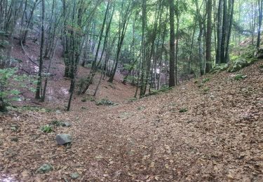
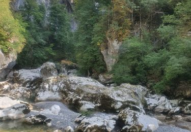
Belle ballade modérément exigeante et donc accessible à tous qui permet de découvrir l’altisurface du Semnoz avec un panorama magnifique à 360°.