


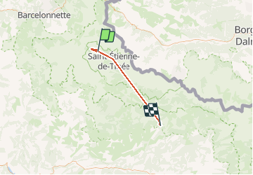

11.3 km | 21 km-effort

User


FREE GPS app for hiking
 SityTrail
IGN / Geographical institutes
SityTrail World
The world is yours!
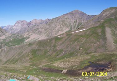
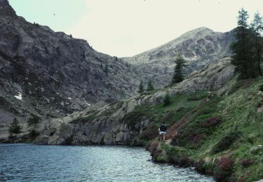
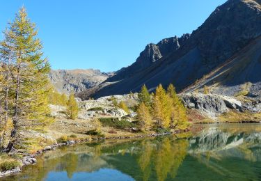
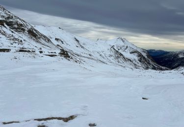
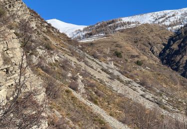
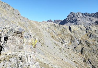
Trail Snowshoes of 39 km to be discovered at Provence-Alpes-Côte d'Azur, Maritime Alps, Saint-Dalmas-le-Selvage. This trail is proposed by Benteux.
SAINT DALMAS DE SELVAGE raquettess

On foot
On foot
On foot
On foot
On foot
Walking
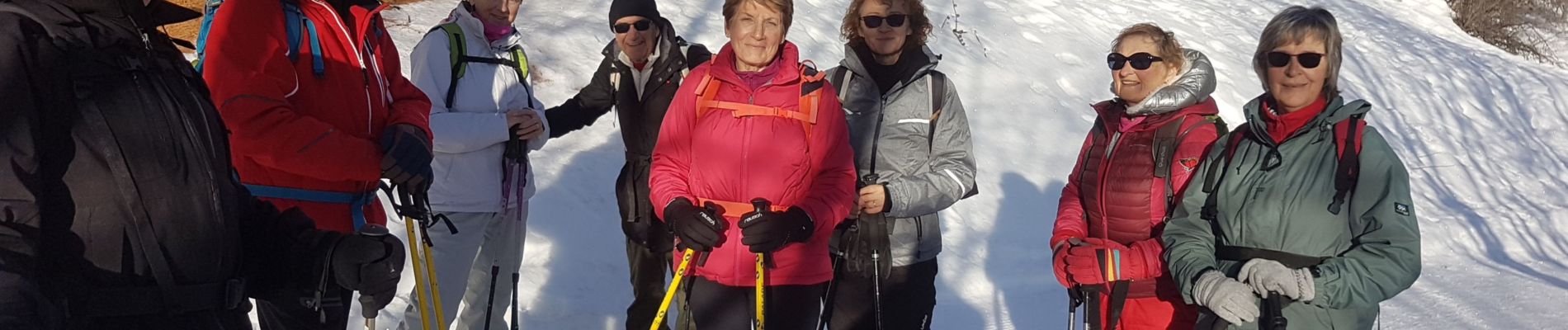
Snowshoes
Snowshoes
Walking