


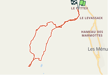

6.2 km | 8.6 km-effort


User


FREE GPS app for hiking
 SityTrail
IGN / Geographical institutes
SityTrail World
The world is yours!
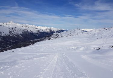
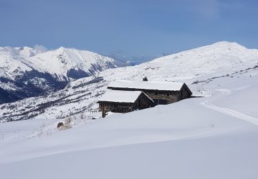
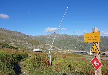
Trail Touring skiing of 10.2 km to be discovered at Auvergne-Rhône-Alpes, Savoy, Les Belleville. This trail is proposed by loicthev.
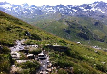
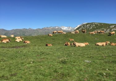
Ski de rando aux Menuires
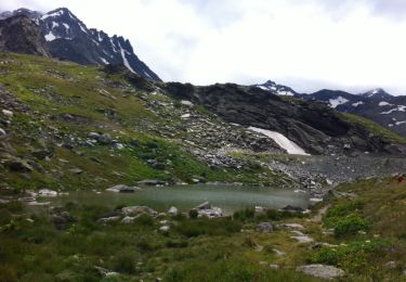
Pointe de la Gratte
Walking
Walking
Walking
Walking
Walking
Walking
Walking
Walking

Walking