


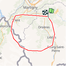

3.3 km | 7.8 km-effort


User


FREE GPS app for hiking
 SityTrail
IGN / Geographical institutes
SityTrail World
The world is yours!
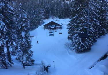
Trail Other activity of 54 km to be discovered at Valais/Wallis, Entremont, Sembrancher. This trail is proposed by Damien6.
Tour sympathique qui vous fait découvrir tous les apsects de la forêt autour de la coline.
On foot
On foot
On foot
On foot

On foot
On foot

On foot
Snowshoes

Walking