


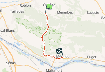

16.7 km | 27 km-effort

User


FREE GPS app for hiking
 SityTrail
IGN / Geographical institutes
SityTrail World
The world is yours!
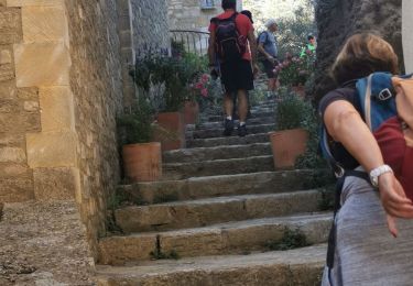
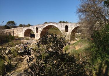
Trail Trail of 14.7 km to be discovered at Provence-Alpes-Côte d'Azur, Vaucluse, Oppède. This trail is proposed by Olivier69XC.
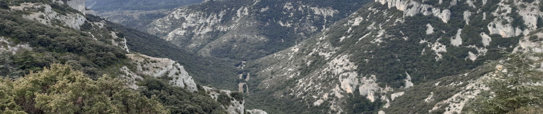
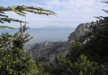
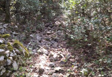
Parcours rocailleux sur les crêtes puis gorge du regalon


Walking
Walking

Walking

Mountain bike
Mountain bike

Walking
Walking
Walking
Road bike