


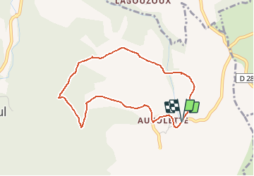

10 km | 14.7 km-effort


User


FREE GPS app for hiking
 SityTrail
IGN / Geographical institutes
SityTrail World
The world is yours!
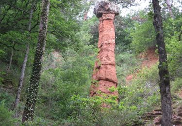
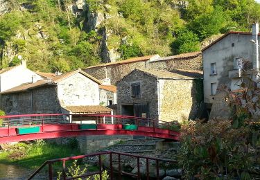
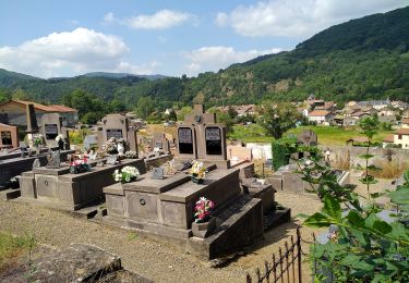
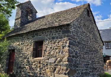
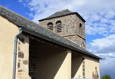
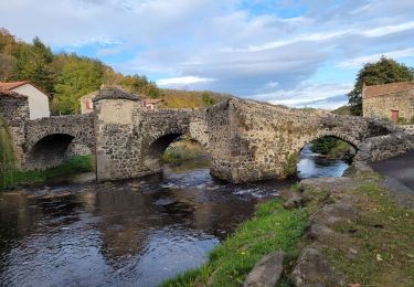
Trail On foot of 4 km to be discovered at Auvergne-Rhône-Alpes, Puy-de-Dôme, Courgoul. This trail is proposed by bernardeau.
parking possible à l'entrée du village au "point propre"


On foot
On foot
On foot
On foot
Walking

Walking
On foot
On foot
Walking