


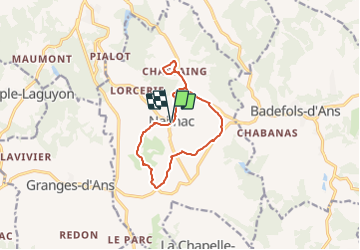


11.7 km | 14.9 km-effort


User


FREE GPS app for hiking
 SityTrail
IGN / Geographical institutes
SityTrail World
The world is yours!
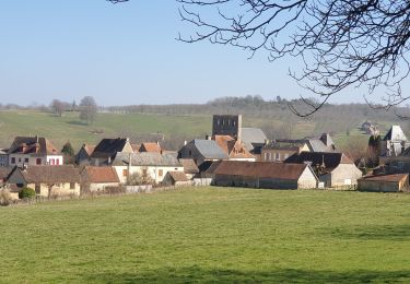
Trail On foot of 11.1 km to be discovered at New Aquitaine, Dordogne, Nailhac. This trail is proposed by YV24.
Extension à 11 km de la boucle de la Noix
Walking
Walking

Mountain bike

Mountain bike

Walking
Walking
Walking
Walking
Walking