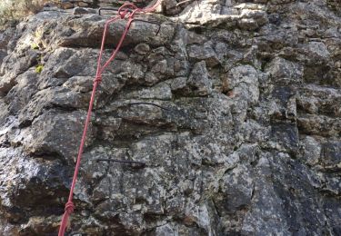
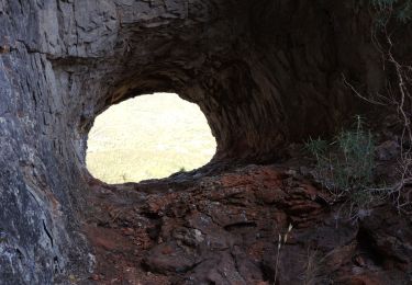
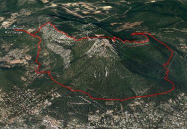
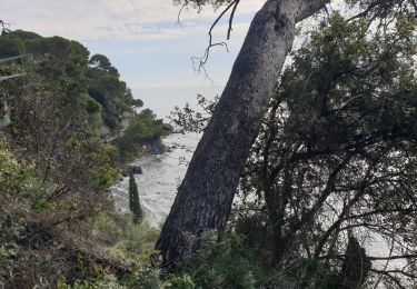
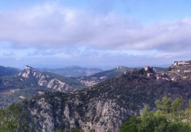
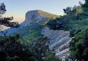
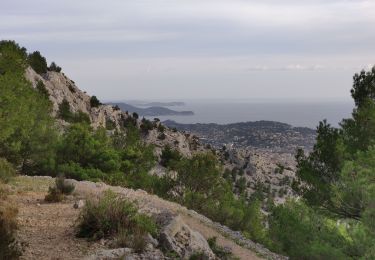
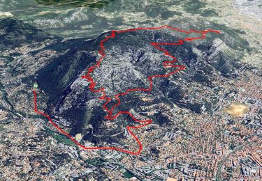
Trail Walking Toulon - piste cyclable - Photo
 Rangabe
Rangabe

User

© OpenStreetMap contributors
Length
Length
3.8 km
Max alt
Max alt
42 m
Uphill gradient
Uphill gradient
39 m
Km-Effort
Km-Effort  
4.3 km
Min alt
Min alt
15 m
Downhill gradient
Downhill gradient
40 m
Boucle
Boucle
Yes
Creation date :
2020-03-30 08:03:37.772
Updated on :
2020-03-30 09:12:43.354

(0 Reviews)

Walking
Walking
43m
Difficulty : Very easy

Scan this QR Code to open this trail in the SityTrail application

FREE GPS app for hiking

Logo SityTrail SityTrail

IGN / Geographical institutes

Download SityTrail from the App Store Download SityTrail from Google Play

Logo SityTrail SityTrail World

The world is yours!

Download SityTrail from the App Store Download SityTrail from Google Play Download SityTrail on Huawei AppGallery

About

Trail Walking of 3.8 km to be discovered at Provence-Alpes-Côte d'Azur, Var, Toulon. This trail is proposed by Rangabe.

Elevation profile

Positioning

Country:
France
Region :
Provence-Alpes-Côte d'Azur
Department/Province :
Var
Municipality :
Toulon
Location:
Unknown
Start:(UTM)
740882 ; 4778193 (31T) N.

Trails nearby

Trail Walking Toulon - Faron versant Nord  - Photo
Walking
cousam

Walking

Very difficult
(1)
Toulon, Provence-Alpes-Côte d'Azur, Var, France
9.9 km | 17.5 km-effort
6h 38min
Yes
Trail Walking Toulon - Faron côté nord  - Photo
Walking
cousam

Walking

Difficult
(1)
Toulon, Provence-Alpes-Côte d'Azur, Var, France
4.6 km | 10.1 km-effort
3h 8min
No
Trail Walking La Valette-du-Var - SityTrail - Le tour du coudon - Photo
Walking
GUIDE
affinetataille

Walking

Difficult
(1)
La Valette-du-Var, Provence-Alpes-Côte d'Azur, Var, France
11.9 km | 19.4 km-effort
5h 0min
Yes
Trail Walking Toulon - Tour royale à Monaco 13 Novembre 2021 - Photo
Walking
GUIDE
harydh

Walking

Easy
Toulon, Provence-Alpes-Côte d'Azur, Var, France
15.6 km | 19.8 km-effort
5h 49min
No
Trail Walking Toulon - 4 Chemins des Routes - Le Croupatier - Le Broussan - Col du Corps de Garde - Photo
Walking
GUIDE
affinetataille

Walking

Difficult
Toulon, Provence-Alpes-Côte d'Azur, Var, France
15.2 km | 24 km-effort
7h 0min
Yes
Trail Walking Toulon - Uba - St Antoine - Point sublime - Sommet du Faron - Retour Uba - Photo
Walking
GUIDE
affinetataille

Walking

Medium
Toulon, Provence-Alpes-Côte d'Azur, Var, France
15.2 km | 25 km-effort
5h 0min
Yes
Trail Walking Toulon - reco faron 2 - Photo
Walking
GUIDE
affinetataille

Walking

Difficult
Toulon, Provence-Alpes-Côte d'Azur, Var, France
6.5 km | 12.2 km-effort
2h 30min
Yes
Trail Cycle La Garde - piste cyclable la garde almanar hyeres - Photo
Cycle
francejpp

Cycle

Very easy
(1)
La Garde, Provence-Alpes-Côte d'Azur, Var, France
13.8 km | 15.1 km-effort
41min
No
Trail Electric bike Toulon - VTT.AE - FARON 1ère sortie VTT électrique  - Photo
Electric bike
GUIDE
affinetataille

Electric bike

Medium
(1)
Toulon, Provence-Alpes-Côte d'Azur, Var, France
19.5 km | 29 km-effort
1h 47min
Yes


Close
My subscriptions