


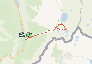

10.6 km | 19.3 km-effort

User


FREE GPS app for hiking
 SityTrail
IGN / Geographical institutes
SityTrail World
The world is yours!
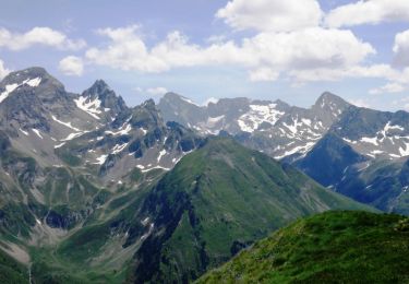
Trail On foot of 15 km to be discovered at New Aquitaine, Pyrénées-Atlantiques, Laruns. This trail is proposed by ETMU5496.
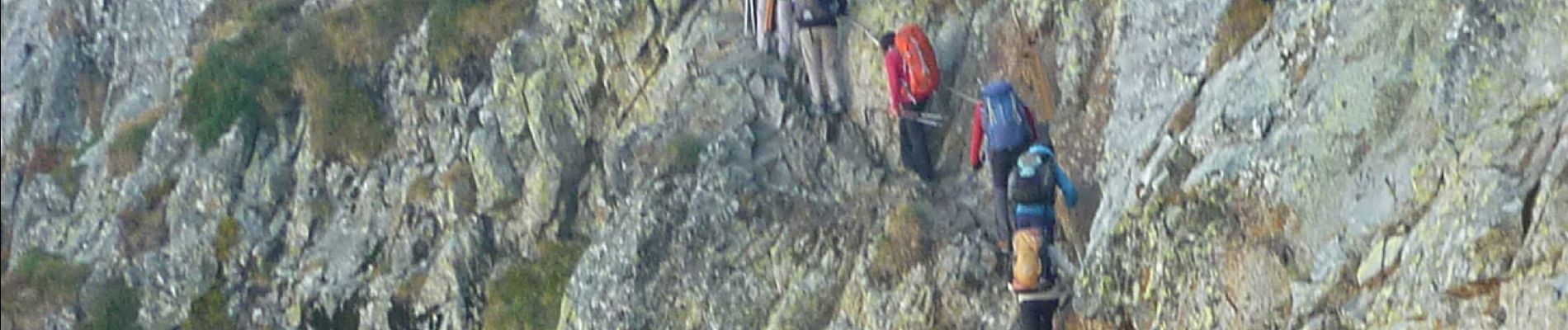
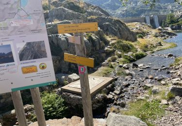
via le Passage d'Orteig (à privilégier uniquement par temps sec)


Walking
Walking

Walking
Walking

Walking

Walking

Walking
Walking
Walking