


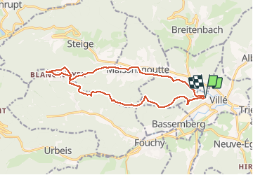

22 km | 33 km-effort

User


FREE GPS app for hiking
 SityTrail
IGN / Geographical institutes
SityTrail World
The world is yours!
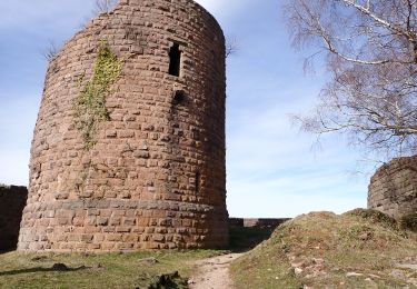
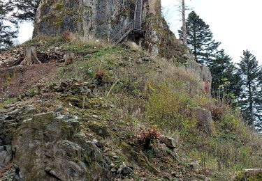
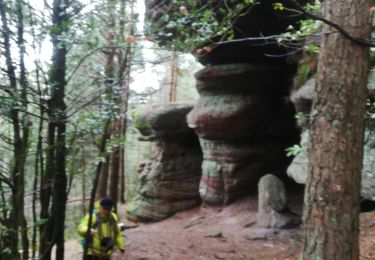
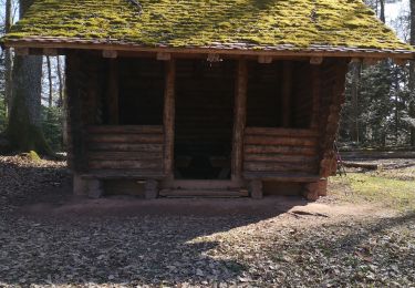
Trail Walking of 15.1 km to be discovered at Grand Est, Bas-Rhin, Villé. This trail is proposed by VacheKiri67.
Faite le 21/05/2020. D'après "Passion Vosges - Escapade en Alsace Centrale" N°15 : Le massif de la Honel. Durée indiquée pour le circuit : 4h00.


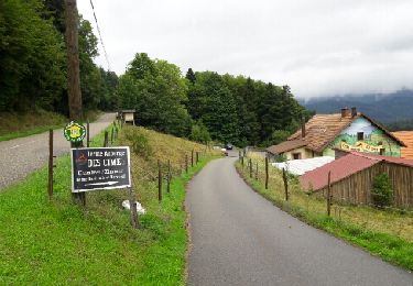
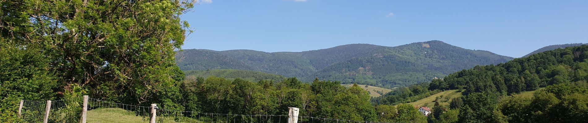
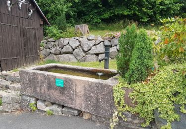
Walking

Mountain bike

Walking

Mountain bike
Walking
Walking
Walking
Walking
Walking