


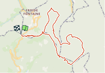

22 km | 33 km-effort

User


FREE GPS app for hiking
 SityTrail
IGN / Geographical institutes
SityTrail World
The world is yours!
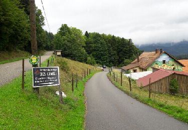
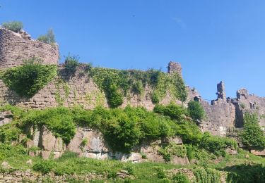
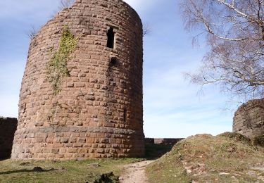
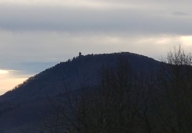
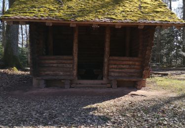
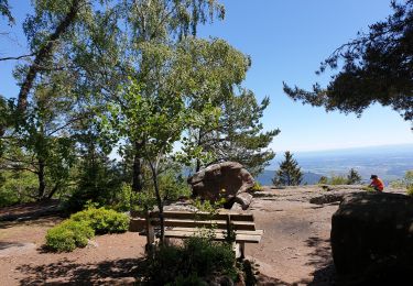
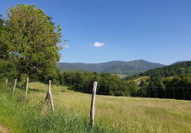
Trail Walking of 11.8 km to be discovered at Grand Est, Haut-Rhin, Rombach-le-Franc. This trail is proposed by apa.
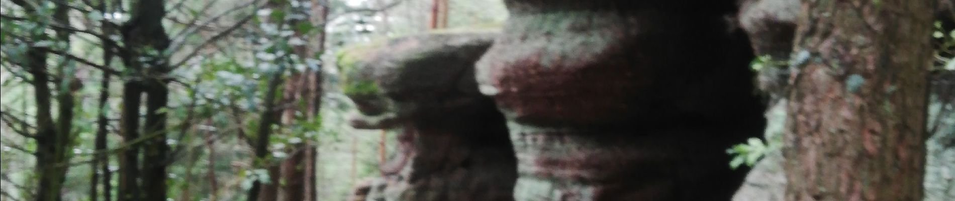
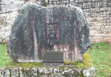
Découverte divers rochers
Rando. De 5heures


Walking
Walking

Walking
Walking
Walking
Walking
Walking
Walking
Walking