


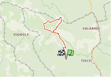

18.1 km | 33 km-effort

User


FREE GPS app for hiking
 SityTrail
IGN / Geographical institutes
SityTrail World
The world is yours!
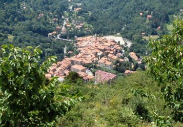
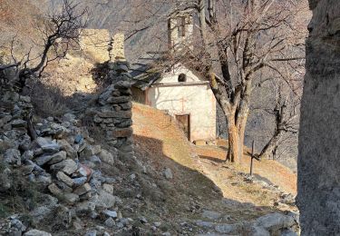
Trail Walking of 13.4 km to be discovered at Provence-Alpes-Côte d'Azur, Maritime Alps, Roure. This trail is proposed by bozo1970.
Départ de la balise 250
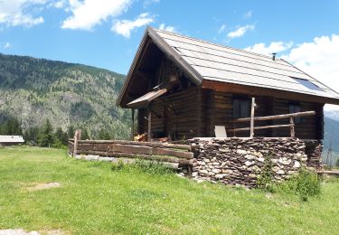
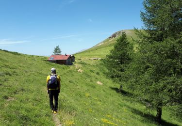
Montée vers la vacherie de Roure et le refuge de Longon en 1h
Sommet en 2h37’, 7km800 et D 890
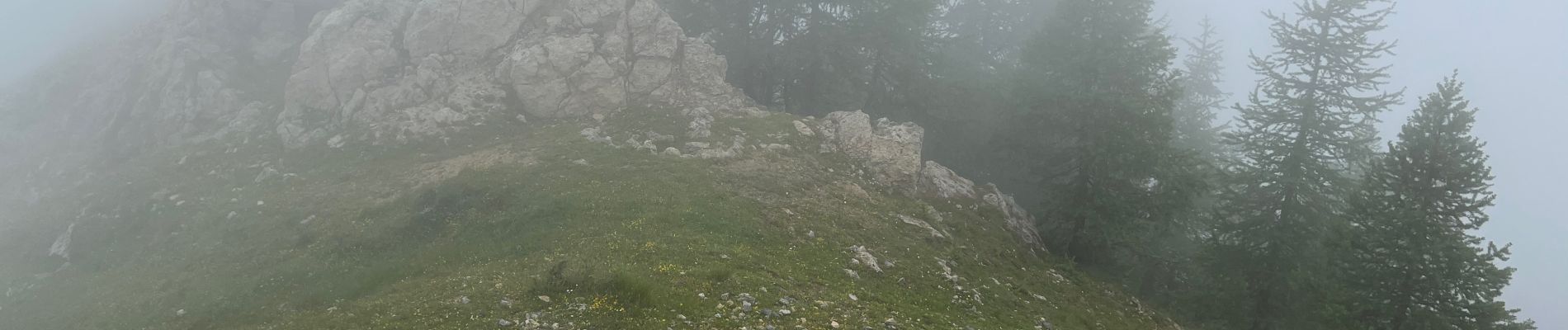
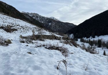
Début de l’orage, aucune visibilité
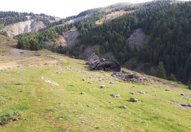
Descente au GPS
A/R en 4h20’, 13km300 et D 969


Walking

On foot

Walking

Snowshoes
Walking
Walking
Walking
Walking
Walking