


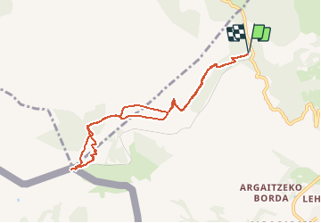

18.8 km | 27 km-effort

User


FREE GPS app for hiking
 SityTrail
IGN / Geographical institutes
SityTrail World
The world is yours!
Trail Walking of 9.1 km to be discovered at New Aquitaine, Pyrénées-Atlantiques, Sare. This trail is proposed by jcaudron.
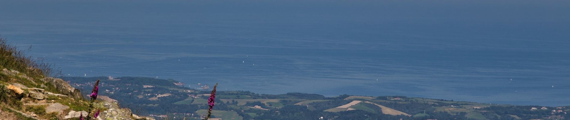
Randonnée à la Rhune depuis le col de St Ignace de difficulté moyenne; de belles vues comme d'habitude...


Walking
Walking

Walking

Walking

Nordic walking

Walking
Walking
Walking
Walking