


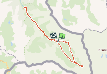

13 km | 24 km-effort


User


FREE GPS app for hiking
 SityTrail
IGN / Geographical institutes
SityTrail World
The world is yours!
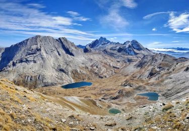
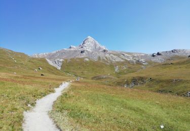
Trail Walking of 18.3 km to be discovered at Provence-Alpes-Côte d'Azur, Hautes-Alpes, Abriès-Ristolas. This trail is proposed by margotte.
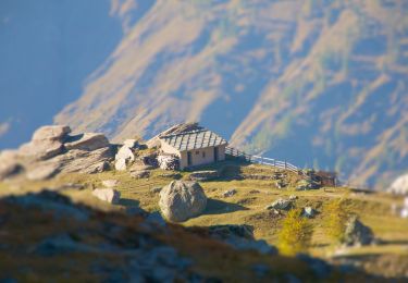
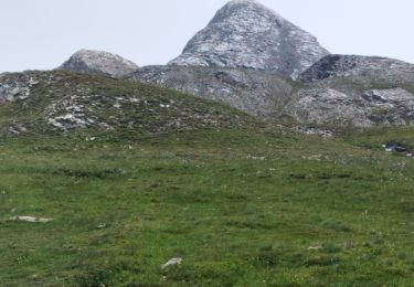
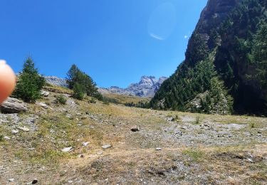
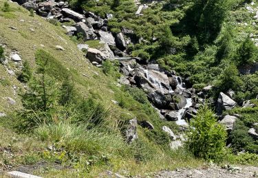
allé/retour dps parking un peu long à pied quand on veut aller vers les sentiers d'altitude mais la flore, les marmottes et les paysages agrémentent ces longs moments sur ce large chemin.la boucle jusqu'au lac est sympa.
On foot

Walking

Walking

Walking
Walking
Walking
Walking
Walking
Walking