


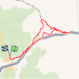


13.1 km | 23 km-effort

User GUIDE


FREE GPS app for hiking
 SityTrail
IGN / Geographical institutes
SityTrail World
The world is yours!
Trail Walking of 4.5 km to be discovered at Provence-Alpes-Côte d'Azur, Hautes-Alpes, Molines-en-Queyras. This trail is proposed by amiral13.
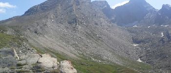
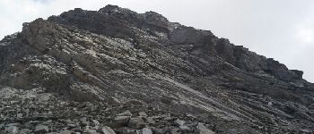
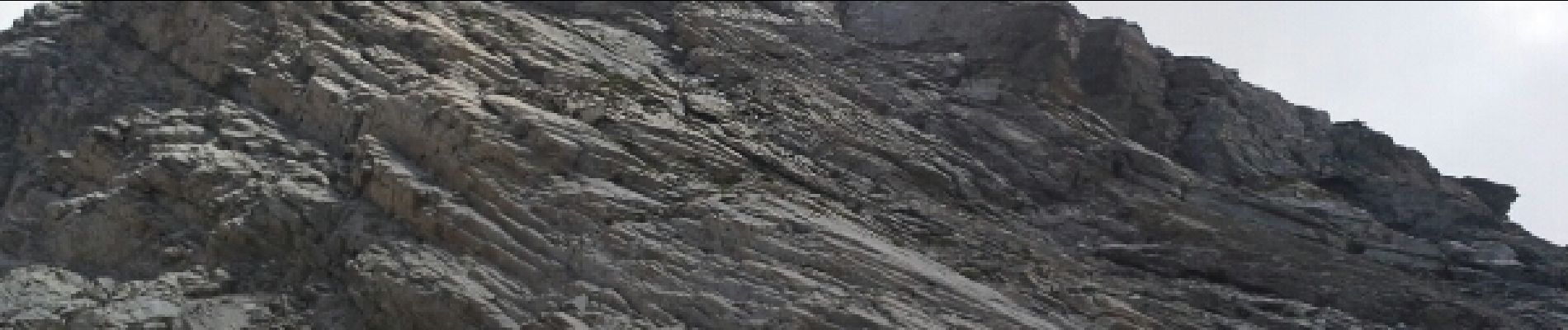
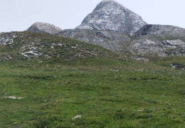
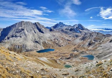
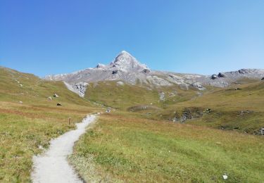
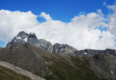
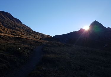
un 3000 avec peu de dénivelée et de distance; la sente qui suit l'arrête est malgré tout une approche de la haute montagne.
Rando effectuée avec une enfants de 7 ans habituée à la randonnée.
A réserver aux personnes aguerries aux sentiers difficiles.


Walking

Walking

Walking

Walking
Walking
Walking
Walking
Walking
Walking
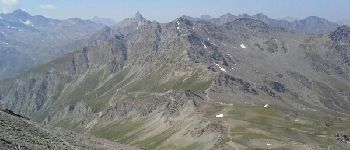
Panorama splendide, à faire de bonne heure pour en profiter car le mauvais temps arrive souvent coté italien vers 11h. S'équiper pour la montagne (chaussures, lunettes, veste, bonnet, gants)