


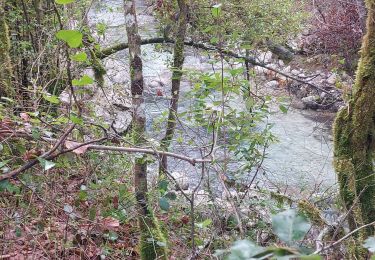
7.5 km | 13.4 km-effort


User


FREE GPS app for hiking
 SityTrail
IGN / Geographical institutes
SityTrail World
The world is yours!
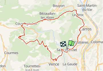
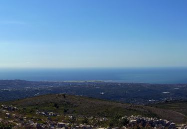
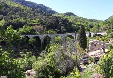
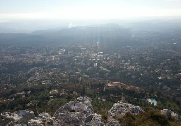
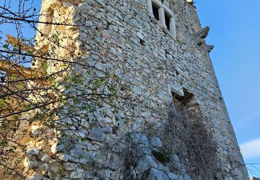
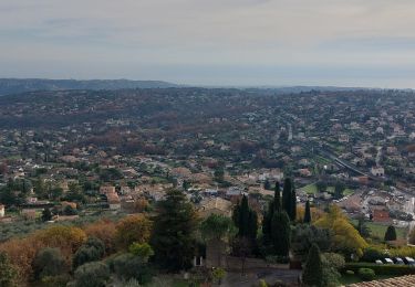
Trail Electric bike of 49 km to be discovered at Provence-Alpes-Côte d'Azur, Maritime Alps, Saint-Jeannet. This trail is proposed by franquen.
rando sympa . un gros effort pour atteibdre le col de Vence puis alternance de chemin de terre et route
Walking
On foot
On foot
On foot
On foot
Walking
Walking
Walking
Walking