


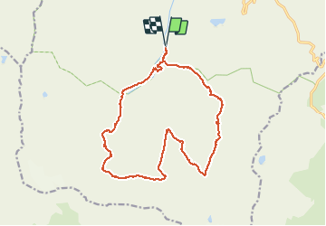

12.6 km | 20 km-effort


User


FREE GPS app for hiking
 SityTrail
IGN / Geographical institutes
SityTrail World
The world is yours!
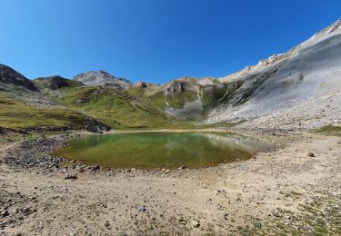
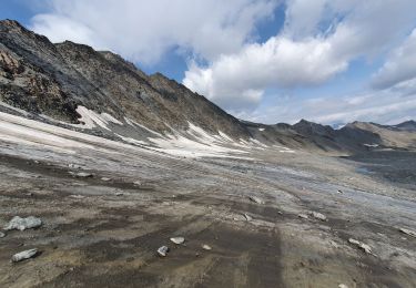
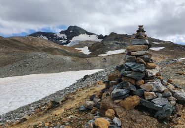
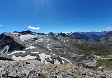
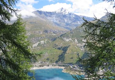
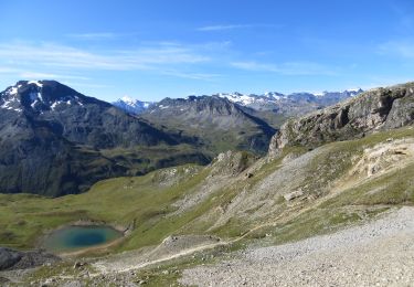
Trail Walking of 18.3 km to be discovered at Auvergne-Rhône-Alpes, Savoy, Val-d'Isère. This trail is proposed by fredetpascale.
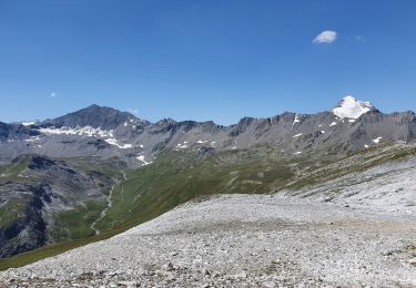
Beau belvédère hors sentier (vue sur le Mont Blanc). Arrête Sud technique et aérienne.
Walking
Walking
Walking
Walking
Walking
Walking
Walking
Walking
Walking