


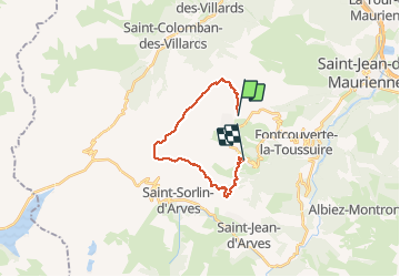


9.4 km | 13.1 km-effort

User


FREE GPS app for hiking
 SityTrail
IGN / Geographical institutes
SityTrail World
The world is yours!
Trail Nordic walking of 17 km to be discovered at Auvergne-Rhône-Alpes, Savoy, Fontcouverte-la-Toussuire. This trail is proposed by fb73300.
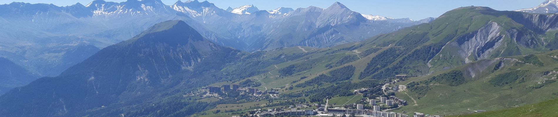
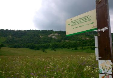
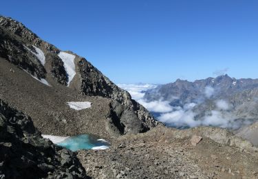
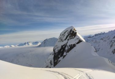
superbes paysages


30 photos in total. Please click on a photo to see them all in the gallery.
Walking
Nordic walking
Walking

Walking

Mountain bike

Walking

Touring skiing
Touring skiing
Walking