


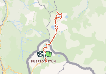

10.4 km | 19.6 km-effort

User


FREE GPS app for hiking
 SityTrail
IGN / Geographical institutes
SityTrail World
The world is yours!
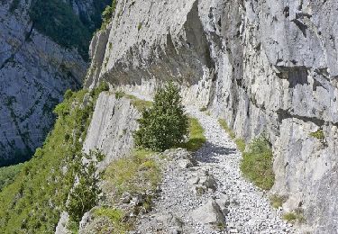
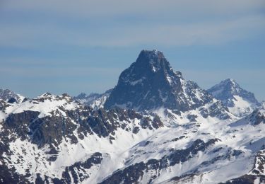
Trail Walking of 16.1 km to be discovered at Aragon, Huesca, Jaca. This trail is proposed by bedous.
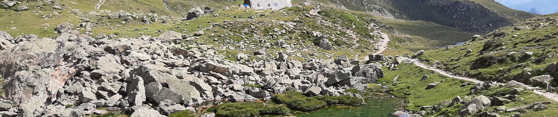
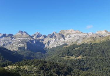
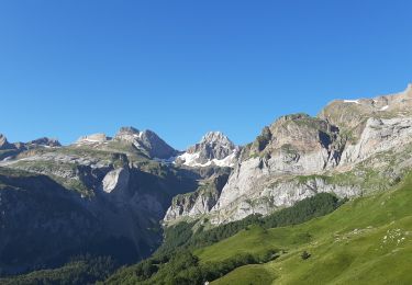
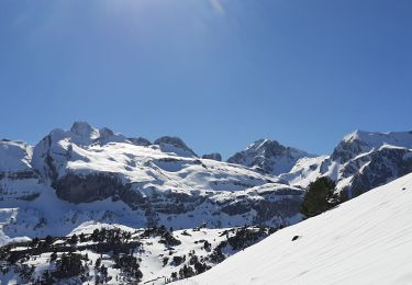
Randonnée à la découverte d'une suite de lacs de montagne pour une arrivée au lac Gentau et le refuge d'Ayous. Pour bons randonneurs.
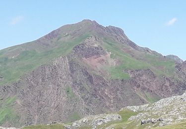
De magnifiques vues sur le pic du midi d'ossau. Chevaux et vaches en liberté.


On foot
On foot
On foot
Walking
Walking
Walking
Walking

Snowshoes
Walking