


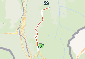

10.4 km | 19.6 km-effort

Tous les sentiers balisés d’Europe PRO


FREE GPS app for hiking
 SityTrail
IGN / Geographical institutes
SityTrail World
The world is yours!
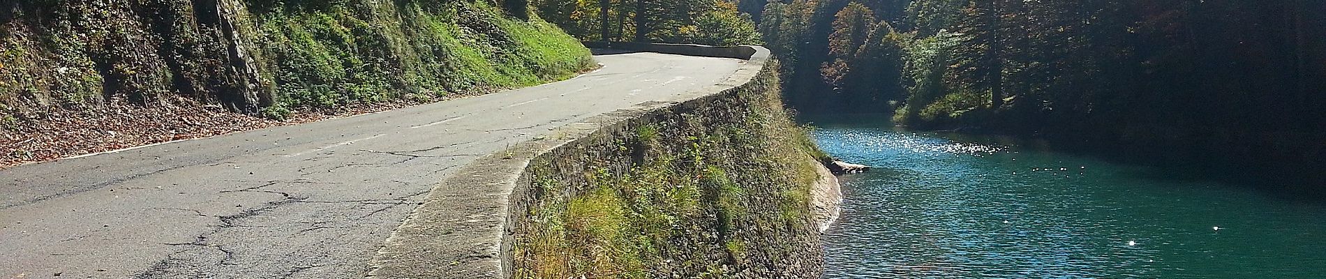
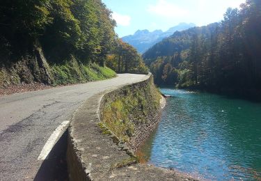
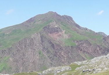
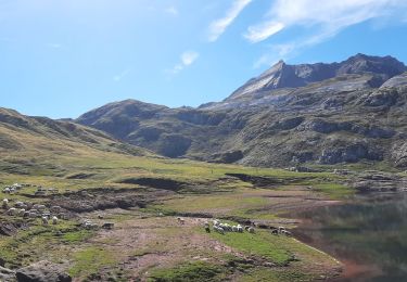
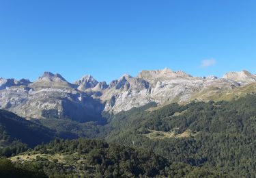
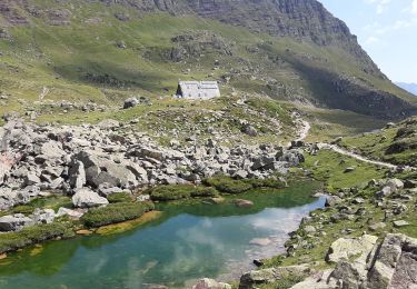
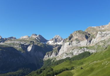
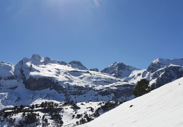
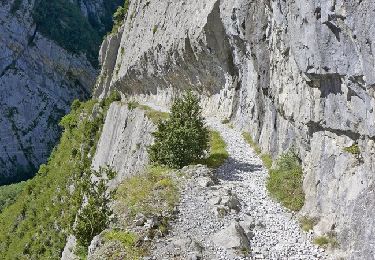
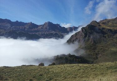
Trail On foot of 3.6 km to be discovered at New Aquitaine, Pyrénées-Atlantiques, Urdos. This trail is proposed by SityTrail - itinéraires balisés pédestres.
Trail created by Parc National des Pyrénées.
Website: https://umap.openstreetmap.fr/fr/map/refonte-plan-local-de-randonnee-de-la-vallee-daspe_108162#14/42.8156/-0.5358


On foot
On foot
Walking
Walking
Walking
Walking
Walking
Walking
Walking