Trail Walking Chamrousse - col de l'infernet par la Croix de Chamrousse - Photo

col de l'infernet par la Croix de Chamrousse

© OpenStreetMap contributors
Length
Length
8.6 km
Max alt
Max alt
2250 m
Uphill gradient
Uphill gradient
500 m
Km-Effort
Km-Effort  
15.3 km
Min alt
Min alt
1783 m
Downhill gradient
Downhill gradient
499 m
Boucle
Boucle
Yes
Creation date :
2020-07-21 06:33:30.194
Updated on :
2020-07-31 13:15:44.658

(0 Reviews)

Walking
Walking
6h24
Difficulty : Medium

Scan this QR Code to open this trail in the SityTrail application

FREE GPS app for hiking

Logo SityTrail SityTrail

IGN / Geographical institutes

Download SityTrail from the App Store Download SityTrail from Google Play

Logo SityTrail SityTrail World

The world is yours!

Download SityTrail from the App Store Download SityTrail from Google Play Download SityTrail on Huawei AppGallery

About

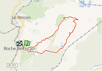
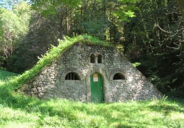
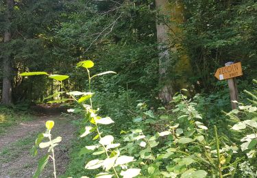
Trail Walking of 8.6 km to be discovered at Auvergne-Rhône-Alpes, Isère, Chamrousse. This trail is proposed by GuyVachet.

Description

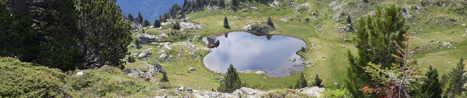
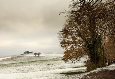
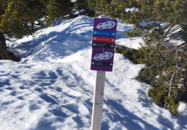
Boucle par la Croix de Chamrousse en passant par les cols de la Botte et de l'Infernet. La montée régulière passe dans les pistes pour arriver à la Croix et sa vue panoramique. L'itinéraire descend par les cols des Trois Fontaines et de la Botte pour s'affranchir progressivement de la station notamment en dominant les lacs Roberts. La suite devient alors plus sauvage avec le lac en forme de trèfle à 4 feuilles avec un petit crochet au petit lac au-dessus du chemin avant d'arriver au col de l'Infernet qui donne accès au Lac Achard bien fréquenté dans sa pointe Sud. Retour classique à Roche Béranger, plus précisément à La Croisette d'où nous sommes partis.

Elevation profile

Photos

Positioning

Country:
France
Region :
Auvergne-Rhône-Alpes
Department/Province :
Isère
Municipality :
Chamrousse
Location:
Unknown
Start:(UTM)
726420 ; 4999472 (31T) N.

Trails nearby

Trail Walking Chamrousse - Boucle Roche Béranger - lacs Robert - Chamrousse - Photo
Walking
tracegps

Walking

Medium
(1)
Chamrousse, Auvergne-Rhône-Alpes, Isère, France
11.4 km | 20 km-effort
4h 30min
Yes
Trail Touring skiing Chamrousse - col de la petite vaudaine - Photo
Touring skiing
GUIDE
nadd73

Touring skiing

Medium
Chamrousse, Auvergne-Rhône-Alpes, Isère, France
15.4 km | 35 km-effort
7h 7min
Yes
Trail On foot Saint-Martin-d'Uriage - Circuit des Curistes - Photo
On foot
GUIDE+

On foot

Easy
Saint-Martin-d'Uriage, Auvergne-Rhône-Alpes, Isère, France
5.9 km | 7.8 km-effort
1h 46min
Yes
Trail On foot Saint-Martin-d'Uriage - Circuit des Crêtes - Photo
On foot
GUIDE+

On foot

Easy
Saint-Martin-d'Uriage, Auvergne-Rhône-Alpes, Isère, France
9.5 km | 13.6 km-effort
3h 5min
Yes
Trail On foot Saint-Martin-d'Uriage - Circuit du Bit - Photo
On foot
GUIDE+

On foot

Easy
Saint-Martin-d'Uriage, Auvergne-Rhône-Alpes, Isère, France
9.1 km | 16.3 km-effort
3h 41min
Yes
Trail Walking Chamrousse - lacs Robert  - Photo
Walking
marshall44

Walking

Medium
(1)
Chamrousse, Auvergne-Rhône-Alpes, Isère, France
9.2 km | 21 km-effort
5h 0min
Yes
Trail Walking Saint-Martin-d'Uriage - Les Seiglières. Circuit des Gardes n°9 raccourci à 8 km - Photo
Walking
patjobou

Walking

Medium
Saint-Martin-d'Uriage, Auvergne-Rhône-Alpes, Isère, France
8.1 km | 12.6 km-effort
2h 51min
Yes
Trail Walking Vaulnaveys-le-Haut - col de la botte - Photo
Walking
Youcef Atallah

Walking

Very difficult
Vaulnaveys-le-Haut, Auvergne-Rhône-Alpes, Isère, France
11 km | 19.4 km-effort
3h 3min
No
Trail Walking Vaulnaveys-le-Bas - Montchaffrey/chartreuse de premol - Photo
Walking
Youcef Atallah

Walking

Very difficult
Vaulnaveys-le-Bas, Auvergne-Rhône-Alpes, Isère, France
15 km | 23 km-effort
3h 54min
Yes


Close
My subscriptions