


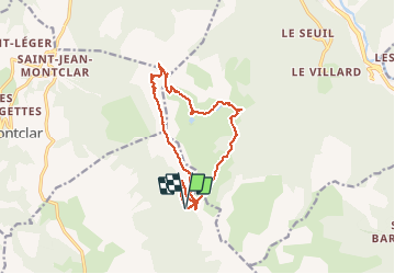

15.6 km | 23 km-effort

User GUIDE


FREE GPS app for hiking
 SityTrail
IGN / Geographical institutes
SityTrail World
The world is yours!
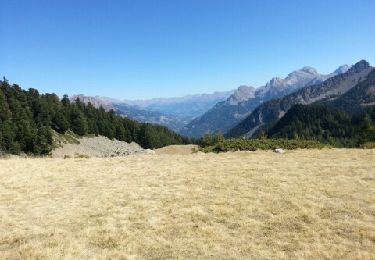
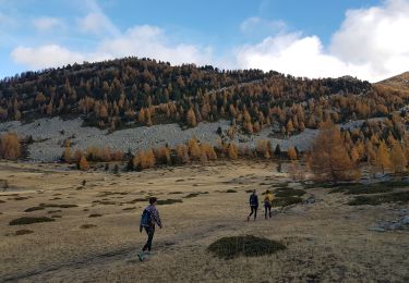
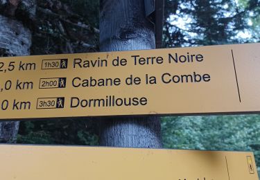
Trail Walking of 14.3 km to be discovered at Provence-Alpes-Côte d'Azur, Alpes-de-Haute-Provence, Seyne. This trail is proposed by David25400.
epipactis sur la montée.
poisson dans le lac du milieu
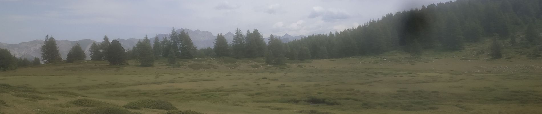
amphibien dans les lacs et libellules autour des multiples zones humides.


Walking
Walking
Walking

Walking
Walking

Walking
Walking
Touring skiing
Walking