


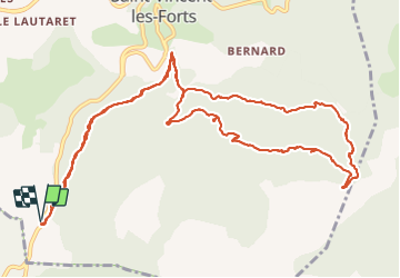

12.5 km | 19.8 km-effort


User


FREE GPS app for hiking
 SityTrail
IGN / Geographical institutes
SityTrail World
The world is yours!
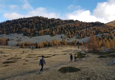
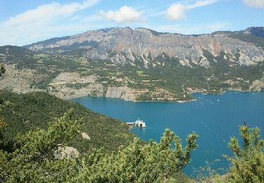
Trail Walking of 15.6 km to be discovered at Provence-Alpes-Côte d'Azur, Alpes-de-Haute-Provence, Ubaye-Serre-Ponçon. This trail is proposed by RobinMicheline.
Agréable. ombrager tout le long , belles vues sur Serre Poncon. bien indiquer, super


Walking
Walking

Walking
Walking
Walking

Walking
Walking
Walking
Walking
super