


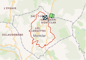

15.6 km | 23 km-effort


User


FREE GPS app for hiking
 SityTrail
IGN / Geographical institutes
SityTrail World
The world is yours!
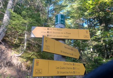
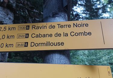
Trail Walking of 14.5 km to be discovered at Provence-Alpes-Côte d'Azur, Alpes-de-Haute-Provence, Montclar. This trail is proposed by RobinMicheline.
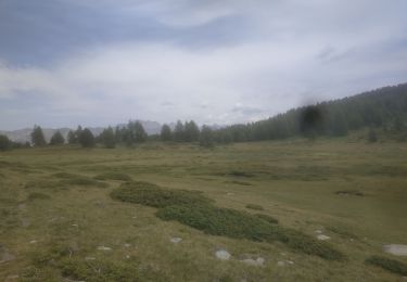
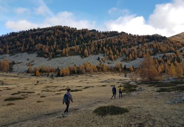
15 kms 4 h 30 marche 600 M dénivelé super bien indiquer
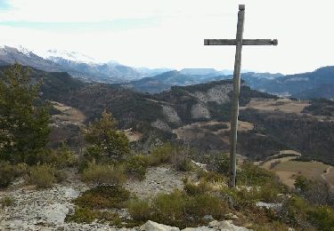
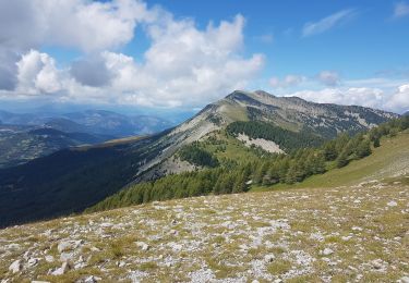
belle vue que des sentiers sympa sur à refaire

Walking
Walking

Walking
Walking
Walking
Walking
Walking

Walking
Walking