


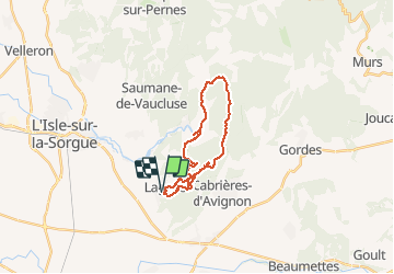

15.1 km | 25 km-effort


User


FREE GPS app for hiking
 SityTrail
IGN / Geographical institutes
SityTrail World
The world is yours!
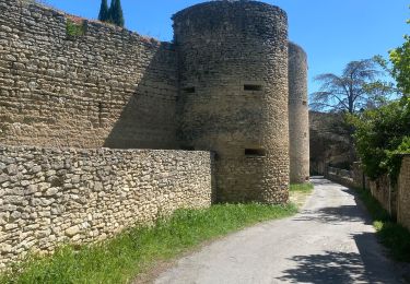
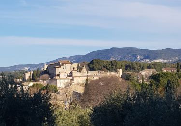
Trail Mountain bike of 23 km to be discovered at Provence-Alpes-Côte d'Azur, Vaucluse, Lagnes. This trail is proposed by Stefvtt.
Walking
Walking

Walking

Hybrid bike
Walking

Walking
Cycle
Walking
Walking
la prise en main parait un peu complexe mais rapidement on découvre la simplicité d' utilisation. Domage qu'elle coûteuse.