


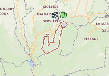

6.6 km | 9.5 km-effort


User GUIDE


FREE GPS app for hiking
 SityTrail
IGN / Geographical institutes
SityTrail World
The world is yours!
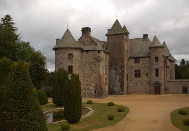
Trail Walking of 11.2 km to be discovered at Auvergne-Rhône-Alpes, Puy-de-Dôme, Orcival. This trail is proposed by jagarnier.
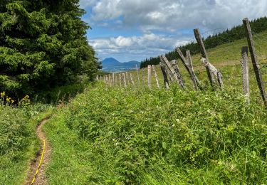
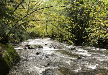
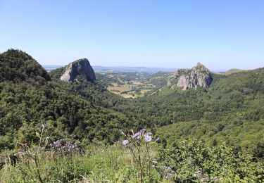
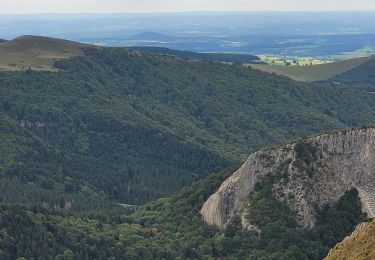
Du lac volcanique de Servières, vous partez à la découverte des sources du Sioulot, puis vous monterez sur les hauteurs pour profiter de belles vues sur le Massif du Sancy.

Walking

Walking

Walking
On foot
On foot
On foot

On foot

Walking
Walking