


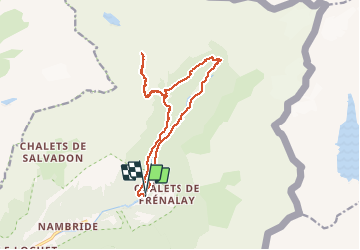


9.3 km | 14.1 km-effort

User


FREE GPS app for hiking
 SityTrail
IGN / Geographical institutes
SityTrail World
The world is yours!
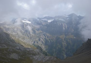
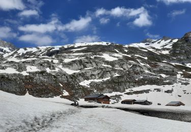
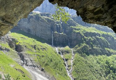
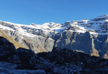
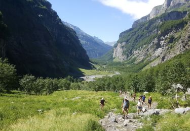
Trail Walking of 15.1 km to be discovered at Auvergne-Rhône-Alpes, Upper Savoy, Sixt-Fer-à-Cheval. This trail is proposed by djeepee74.
BOUCLE... live le 20200819
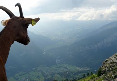
La montée au pas du Boret est escarpée, exposée... mais bien équipée...
Cependant, ne pas s'y aventurer avec des personnes non averties ou sujettes au vertige ou à la peur du vide.
Descente déconseillée par terrain glissant.


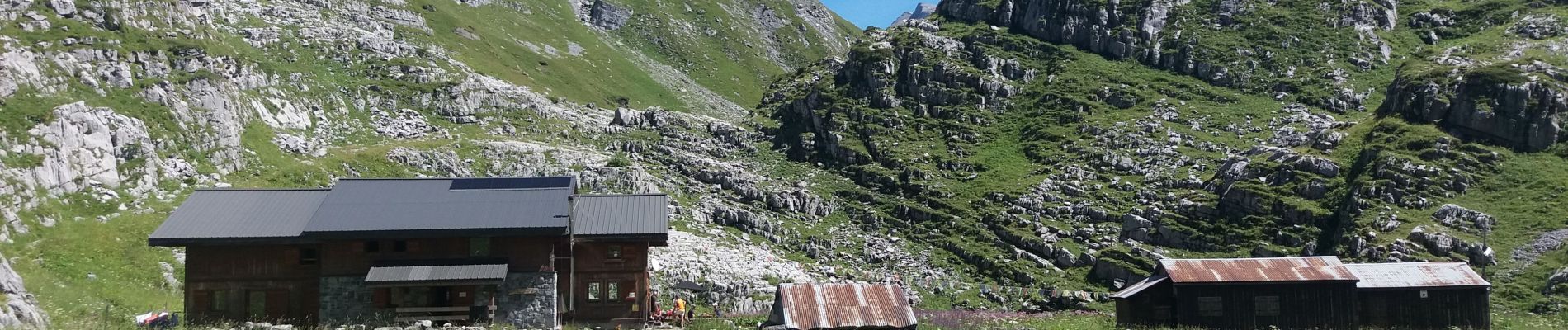
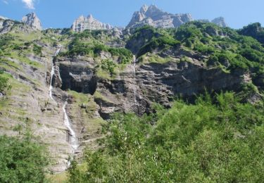
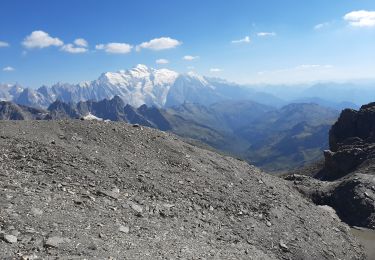
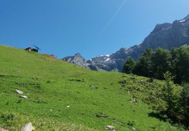
33 photos in total. Please click on a photo to see them all in the gallery.
Walking
Walking
On foot
Walking
Walking
Walking
Walking
Walking
Fishing