


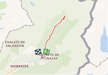

9.3 km | 14.1 km-effort


User


FREE GPS app for hiking
 SityTrail
IGN / Geographical institutes
SityTrail World
The world is yours!
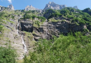
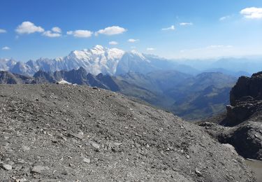
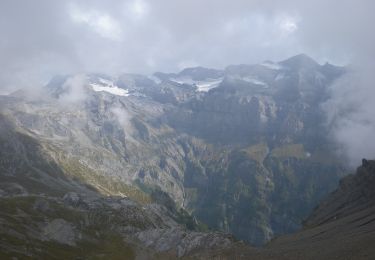
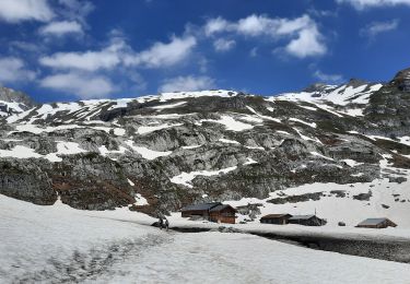
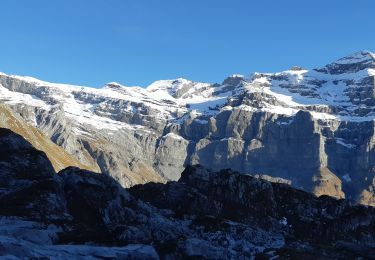
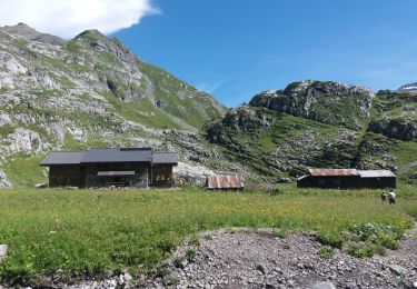
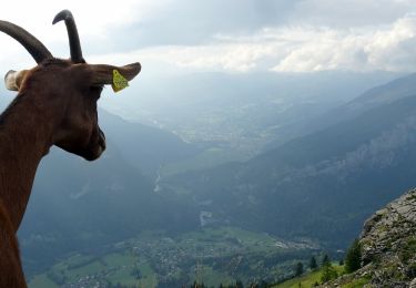
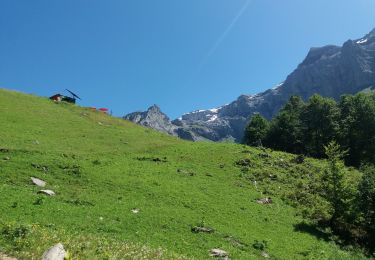
Trail Walking of 11.9 km to be discovered at Auvergne-Rhône-Alpes, Upper Savoy, Sixt-Fer-à-Cheval. This trail is proposed by daniel34.
Le dénivelé est faux, il doit être de l’ordre de 320m


Walking

Walking
Walking
On foot
Walking
Walking
Walking
Walking
Walking