


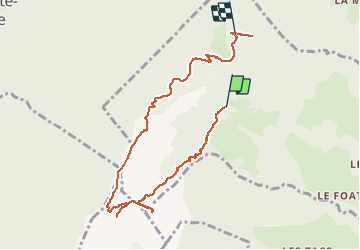

12.3 km | 31 km-effort

User


FREE GPS app for hiking
 SityTrail
IGN / Geographical institutes
SityTrail World
The world is yours!
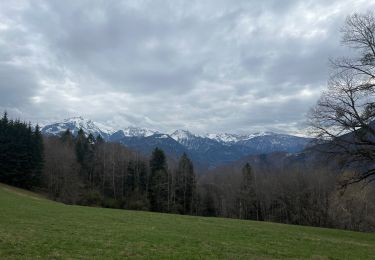
Trail Walking of 8.5 km to be discovered at Auvergne-Rhône-Alpes, Savoy, Marthod. This trail is proposed by nadd73.
Marthod, Raffort.
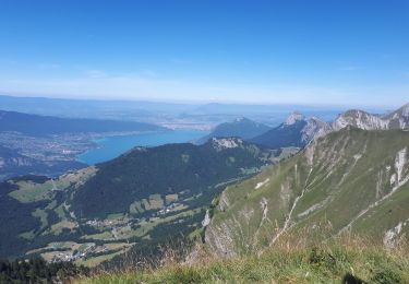
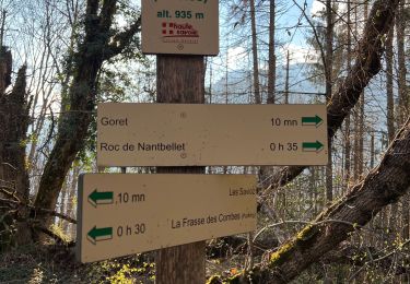
col de sellive et sa pointe (câbles).
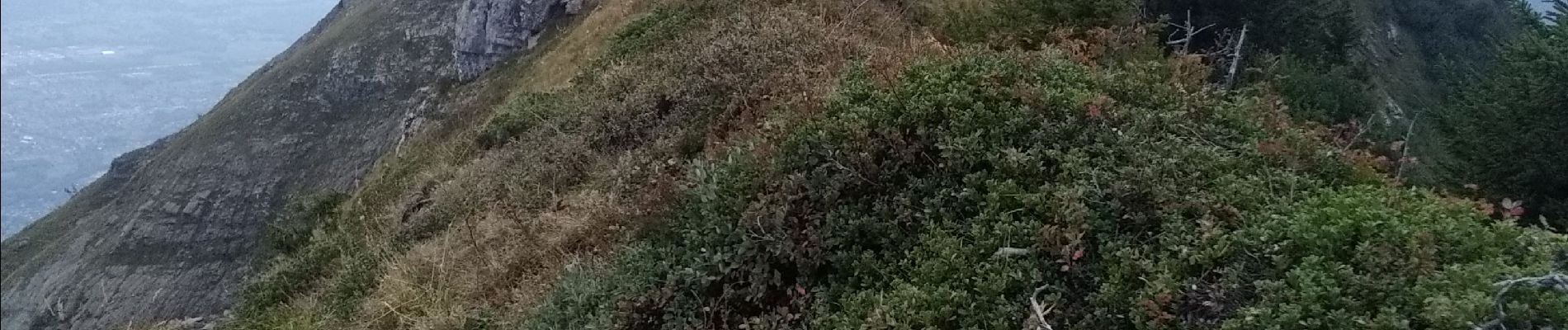
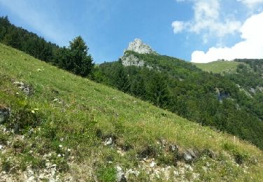
Dent de Cons, arête aérienne.
Fort batterie de l'alpetaz (se visite et on peut y manger )


Walking
Walking

Walking
Walking
Walking
Walking

Walking
Walking

Snowshoes