


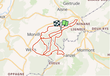

8.1 km | 10.8 km-effort


FREE GPS app for hiking
 SityTrail
IGN / Geographical institutes
SityTrail World
The world is yours!
Trail Walking of 21 km to be discovered at Wallonia, Luxembourg, Durbuy. This trail is proposed by mordant.ben@gmail.com.
Deux boucles de dix kms mais au profil différent depuis le col du Rideux.
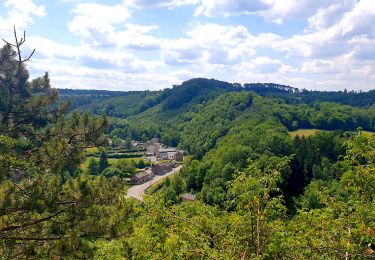
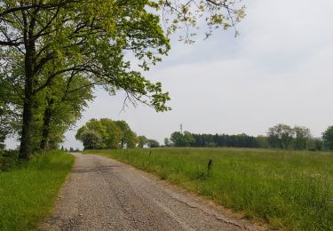
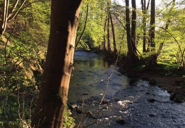
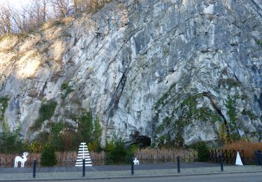
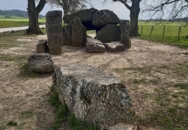
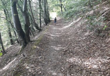
Passage par Heyd, Fanzel et Wéris. Vraiment très peu de macadam, alternance de beaux et grands chemins rectilignes et de petits sentiers sinueux Sur les crêtes, de beaux panoramas. Passage par le lit du diable et par la pierre du bossu curé (selon la légende, blablablablabla....)


Walking

Walking
Walking
Walking
Walking
Walking
Walking
Walking
Walking