


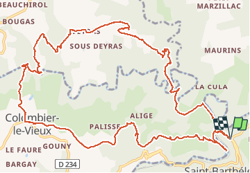

17.5 km | 24 km-effort

User


FREE GPS app for hiking
 SityTrail
IGN / Geographical institutes
SityTrail World
The world is yours!
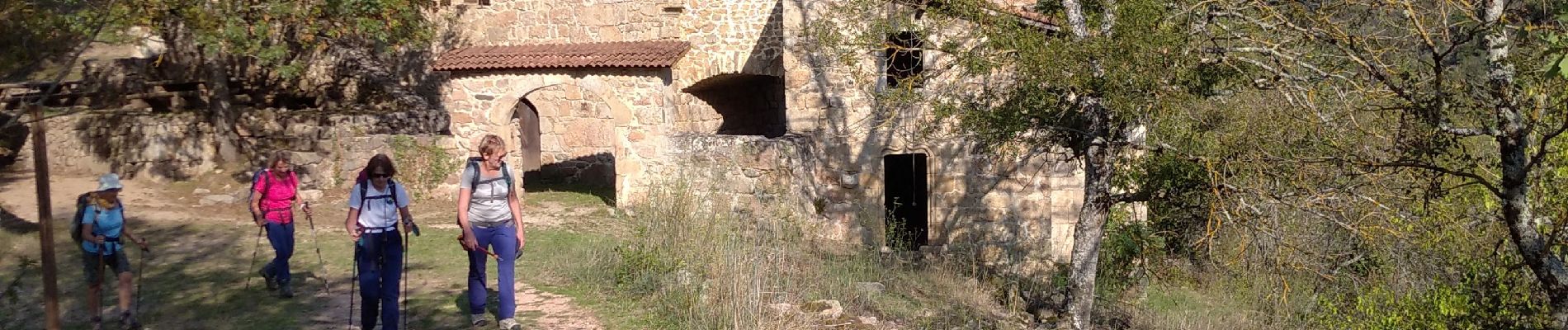
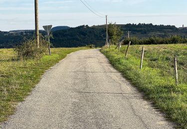
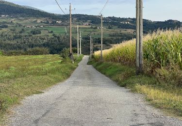
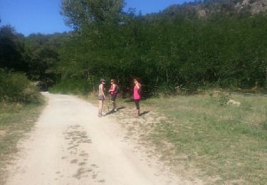
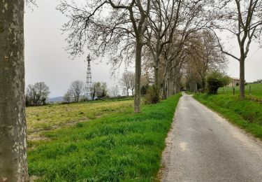
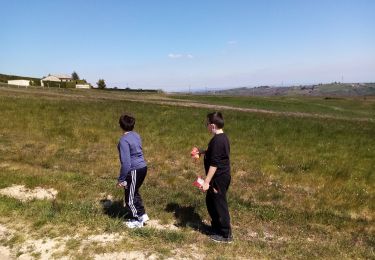
Trail Walking of 17.9 km to be discovered at Auvergne-Rhône-Alpes, Ardèche, Saint-Barthélemy-le-Plain. This trail is proposed by himba26100.
gêne Jackie renee

On foot
On foot
Walking

Walking
Walking
Walking

Horseback riding
Horseback riding
Walking