


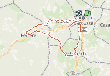


11.4 km | 20 km-effort


User GUIDE


FREE GPS app for hiking
 SityTrail
IGN / Geographical institutes
SityTrail World
The world is yours!
Trail On foot of 9 km to be discovered at Occitania, Hautespyrenees, Mauléon-Barousse. This trail is proposed by marmotte65.
Sens horaire
ne pas manquer de faire un petit crochet de 1 km A/R pour aller voir le gouffre de la Saoule
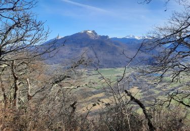
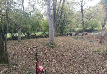
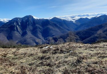
L'un des plus beaux exemples de ce travail de la nature est le Gouffre de Saoule dans lequel l'Ourse de Ferrère plonge en cascade.
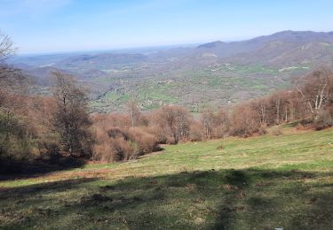
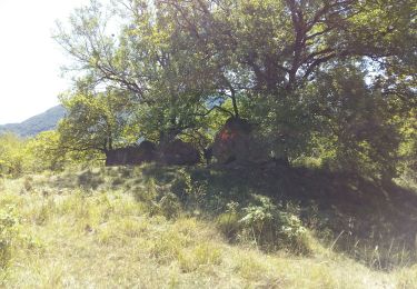
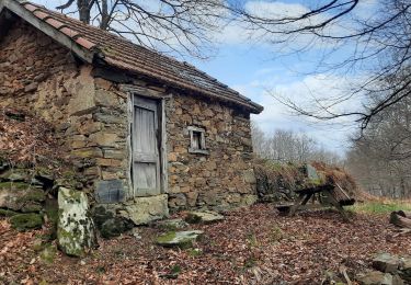
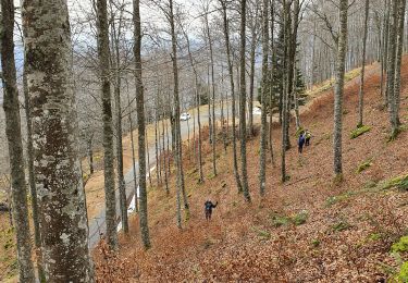
Mauleon cache de nombreux trésors patrimoniaux: son château féodal et sa tour pentagonale (privé) datant du Vème siècle, des maisons a colombages, des charpentes atypiques ,.... ainsi que la maison des sources musée sur les traditions et sur le cycle de l'eau, élément majeur en Neste Barousse. Une randonnée accessible a tous et en toutes saisons . Ombragée en été et surprenante en raquettes sous la neige l'hiver. Il est possible que vous aperceviez des biches qui sembleront vous attendre dans les sous bois. chut!
Walking

Walking
Walking
Walking
Walking
Walking
Walking

On foot
Walking