


47 km | 90 km-effort

User


FREE GPS app for hiking
 SityTrail
IGN / Geographical institutes
SityTrail World
The world is yours!
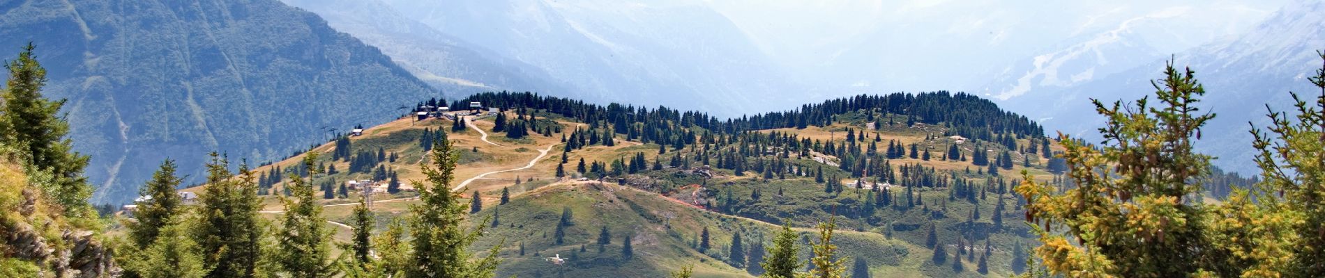
Trail Walking of 11.9 km to be discovered at Auvergne-Rhône-Alpes, Upper Savoy, Saint-Gervais-les-Bains. This trail is proposed by Philindy26.
Départ du parking de la Toille (1137 m) au Mont Paccard à Saint-Gervais-les-Bains...
Géolocalisation (Google Maps) : https://goo.gl/maps/Sbc4MCxBcpoE7fcU9 (45°53'49.9"N / 6°43'23.9"E ou 45.897188, 6.723293).
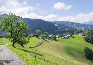
Montée par le hameau de Montfort (1181 m), le Pontet (1376 m), le col de la Forclaz (1533 m).
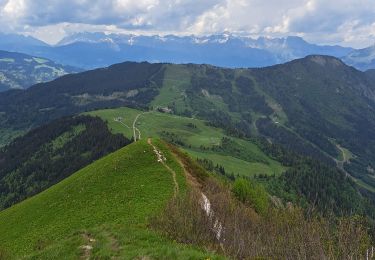
Puis ascension de la croupe pour atteindre le sommet du Prarion (1969 m).
Retour en longeant le plateau côté Est en direction de l'hôtel-restaurant du Prarion (1853 m).
Descente en empruntant la piste par le chalets des Anglais (1653 m), les Combettes (1475 m), le Plancert (1430 m), les Marillières (1405 m) et les Toilles (1189 m).


27 photos in total. Please click on a photo to see them all in the gallery.

Walking

Running

Walking

Walking
Walking
On foot

Walking
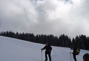
Snowshoes
Walking
Magnifique belvédère à 360 degrés