


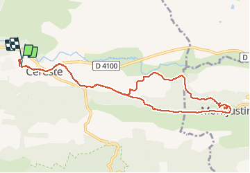


8.1 km | 11.6 km-effort

User


FREE GPS app for hiking
 SityTrail
IGN / Geographical institutes
SityTrail World
The world is yours!
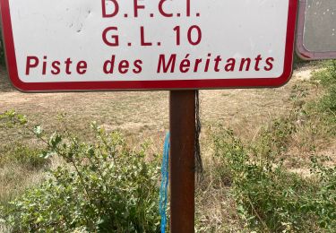
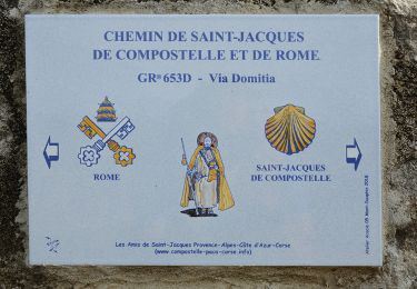
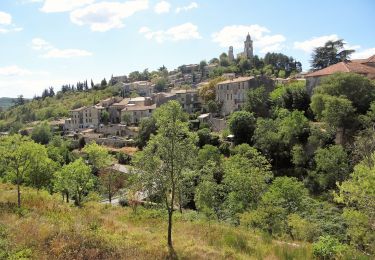
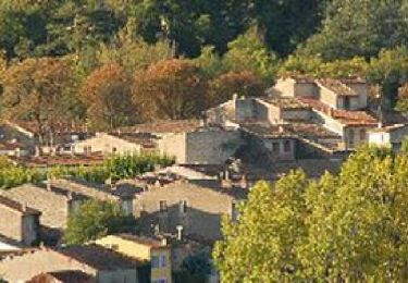
Trail Walking of 11.6 km to be discovered at Provence-Alpes-Côte d'Azur, Alpes-de-Haute-Provence, Céreste. This trail is proposed by janussity.
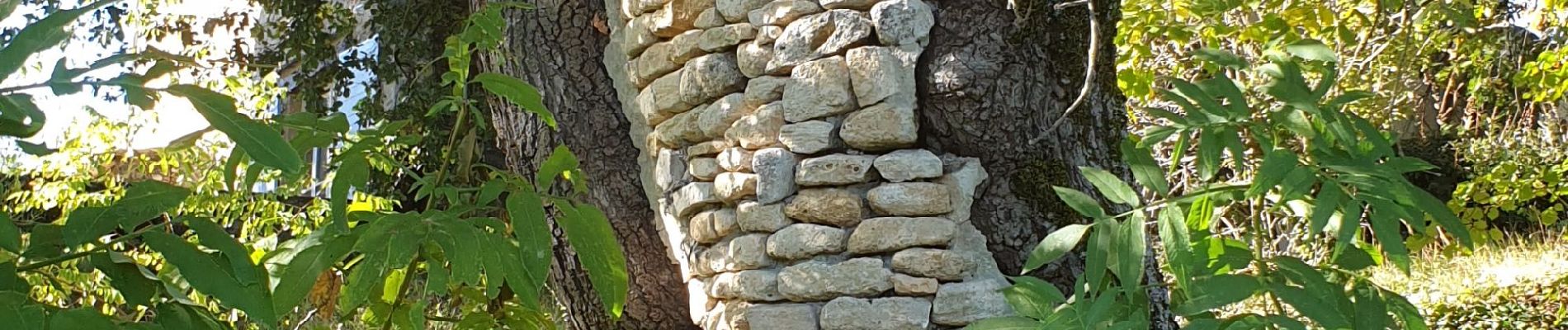
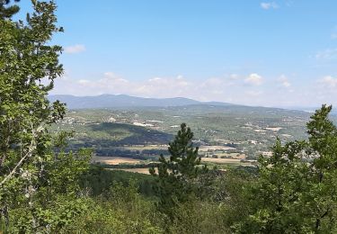
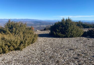
Beau temps très frais ce matin.
Gelée blanche au 18 octobre.


Walking
Walking
Walking
Walking
Walking
Walking
Walking
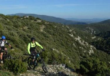
Mountain bike
Cycle