


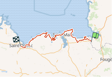


9.1 km | 10.4 km-effort


Faites confiance au hasard des rencontres


FREE GPS app for hiking
 SityTrail
IGN / Geographical institutes
SityTrail World
The world is yours!
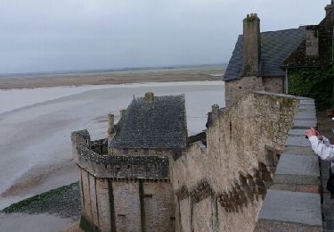
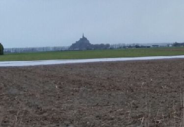
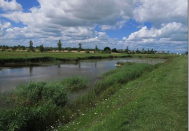
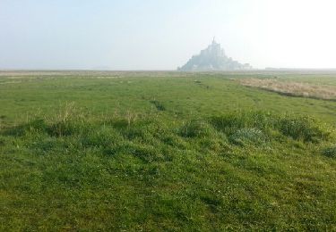
Trail Walking of 257 km to be discovered at Normandy, Manche, Pontorson. This trail is proposed by Aux croisées des GR.
On foot
Mountain bike
Walking

Walking
Walking
Walking
Mountain bike

Mountain bike