Trail Walking Charleroi - Boucle Noire - Photo
© OpenStreetMap contributors
Length
Length
23 km
Max alt
Max alt
199 m
Uphill gradient
Uphill gradient
356 m
Km-Effort
Km-Effort  
28 km
Min alt
Min alt
95 m
Downhill gradient
Downhill gradient
352 m
Boucle
Boucle
No
Creation date :
03/11/2020 08:46
Updated on :
03/11/2020 15:11

(3 Reviews)

Walking
Walking
4h50
Difficulty : Unknown

Scan this QR Code to open this trail in the SityTrail application

FREE GPS app for hiking

Logo SityTrail SityTrail

IGN / Geographical institutes

Download SityTrail from the App Store Download SityTrail from Google Play

Logo SityTrail SityTrail Plus

The world is yours!

Download SityTrail from the App Store Download SityTrail from Google Play Download SityTrail on Huawei AppGallery

About

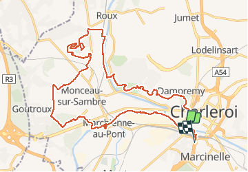
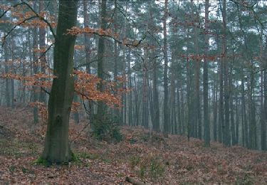
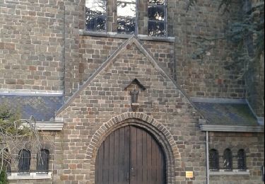
Trail Walking of 23 km to be discovered at Wallonia, Hainaut, Charleroi. This trail is proposed by Michel Tondus.

Description

Magnifique randonnée en boucle à partir de la gare de Charleroi Sud.
Tout en contraste, à faire absolument.

Elevation profile

Photos

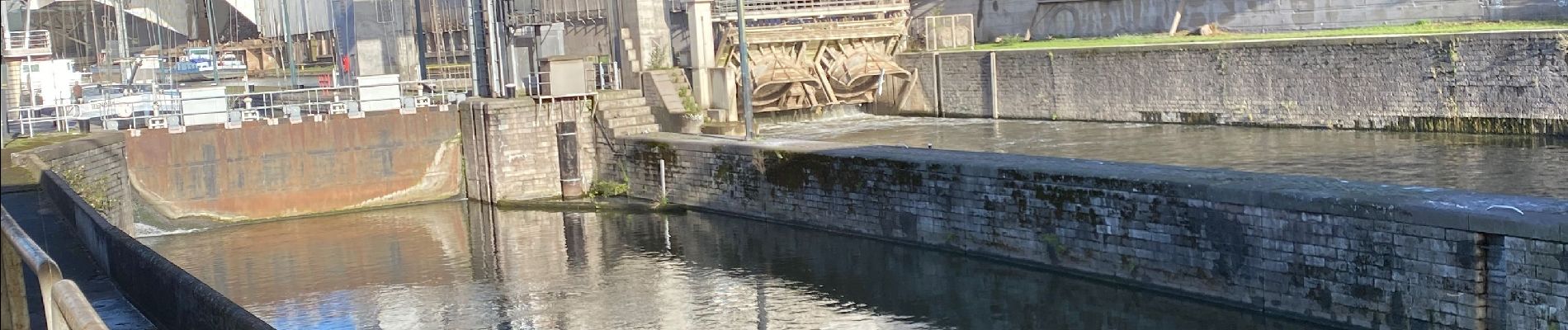
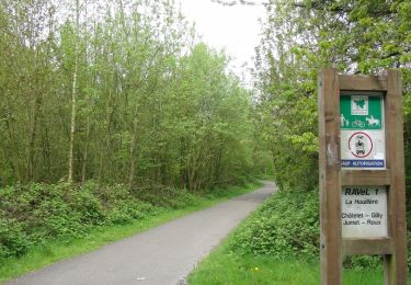
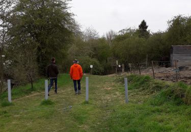
41 photos in total. Please click on a photo to see them all in the gallery.

Positioning

Country:
Belgium
Region :
Wallonia
Department/Province :
Hainaut
Municipality :
Charleroi
Location:
Marcinelle
Start:(UTM)
601886 ; 5584705 (31U) N.

Comments

Please log in to post a review or rate the element


Très bien


Close
My subscriptions