Trail On foot Dour - pour eliise et les enfants (2) - Photo

pour eliise et les enfants (2)

© OpenStreetMap contributors
Length
Length
6.4 km
Max alt
Max alt
146 m
Uphill gradient
Uphill gradient
78 m
Km-Effort
Km-Effort  
7.4 km
Min alt
Min alt
90 m
Downhill gradient
Downhill gradient
78 m
Boucle
Boucle
Yes
Creation date :
08/11/2020 09:11
Updated on :
08/11/2020 09:17

(0 Reviews)

On foot
On foot
--
Difficulty : Very easy

Scan this QR Code to open this trail in the SityTrail application

FREE GPS app for hiking

Logo SityTrail SityTrail

IGN / Geographical institutes

Download SityTrail from the App Store Download SityTrail from Google Play

Logo SityTrail SityTrail Plus

The world is yours!

Download SityTrail from the App Store Download SityTrail from Google Play Download SityTrail on Huawei AppGallery

About

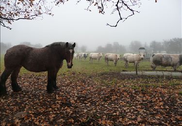
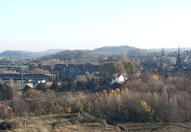
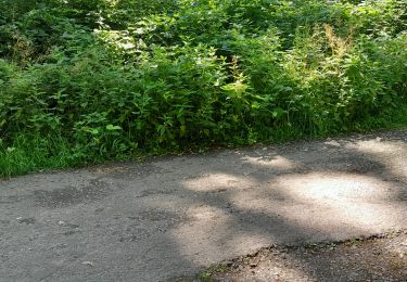
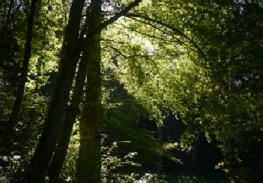
Trail On foot of 6.4 km to be discovered at Wallonia, Hainaut, Dour. This trail is proposed by peterschelfaut.

Description

Belle balade dans la vallée du Haneton et vers le sommet du plus haut terril du Borinage (Sauwartan)

Elevation profile

Points of interest

Point of interest Dour - Vallée du Haneton - Photo
peterschelfaut
Point of interest Dour - sauwartan - Photo
peterschelfaut
DOUR 

Positioning

Country:
Belgium
Region :
Wallonia
Department/Province :
Hainaut
Municipality :
Dour
Location:
Dour
Start:(UTM)
556386 ; 5582843 (31U) N.


Close
My subscriptions