


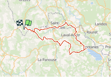


21 km | 27 km-effort


User


FREE GPS app for hiking
 SityTrail
IGN / Geographical institutes
SityTrail World
The world is yours!
Trail Horseback riding of 76 km to be discovered at Auvergne-Rhône-Alpes, Haute-Loire, Chanaleilles. This trail is proposed by Lozère Cheval.
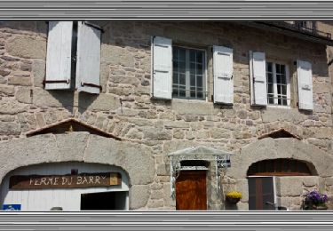
Suppression de Ferme de Peyre et rajout Giraldès
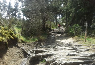
Walking
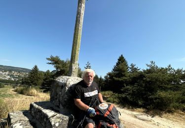
Walking
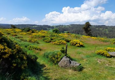
Walking
Walking

Walking
Walking

Walking

sport
Walking