


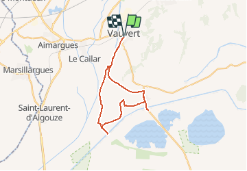


22 km | 23 km-effort


User


FREE GPS app for hiking
 SityTrail
IGN / Geographical institutes
SityTrail World
The world is yours!
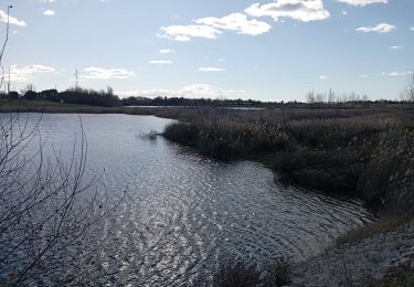
Trail Cycle of 25 km to be discovered at Occitania, Gard, Vauvert. This trail is proposed by gmerminod.
Dun_canal_a_lautre_de_Vauvert_a_Vauvert
Walking

Walking
Walking

Hybrid bike

Walking
Walking
Walking
Walking
Hybrid bike